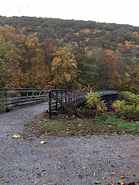
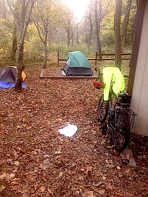
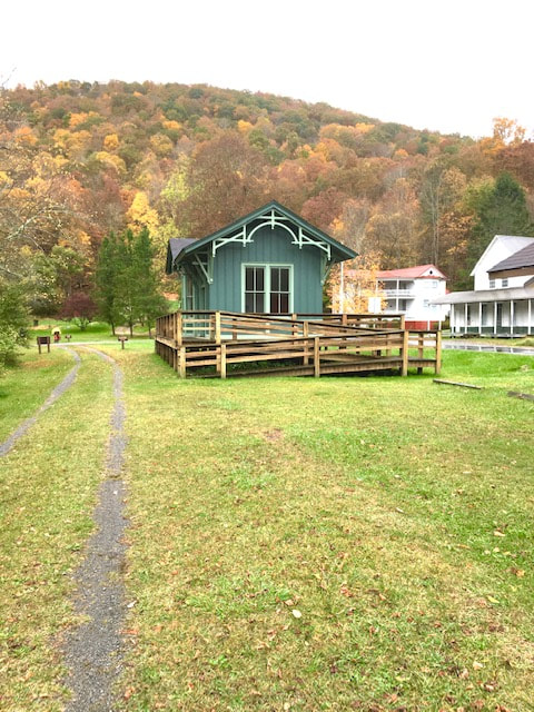
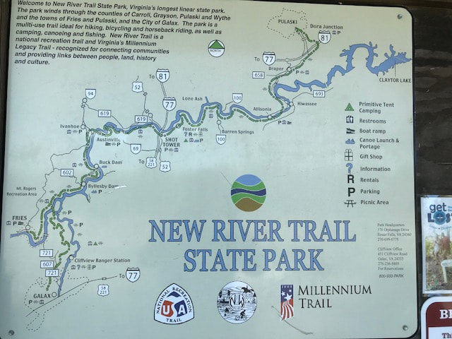
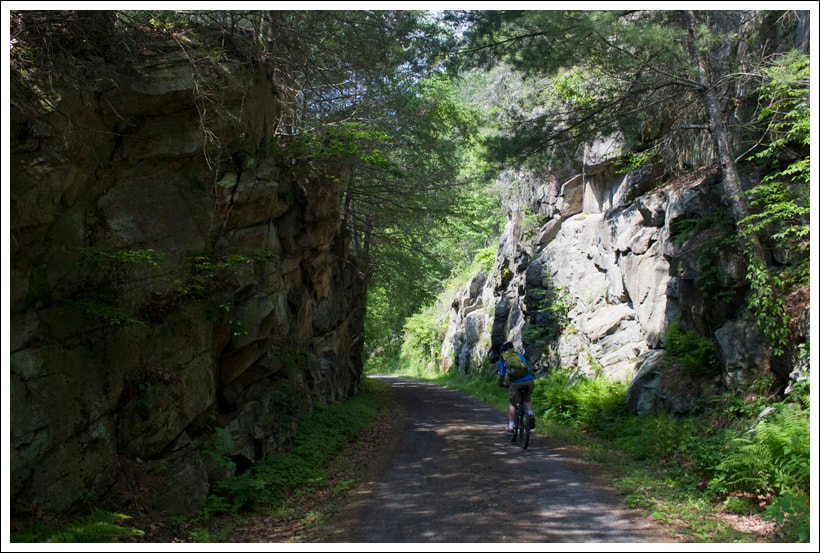
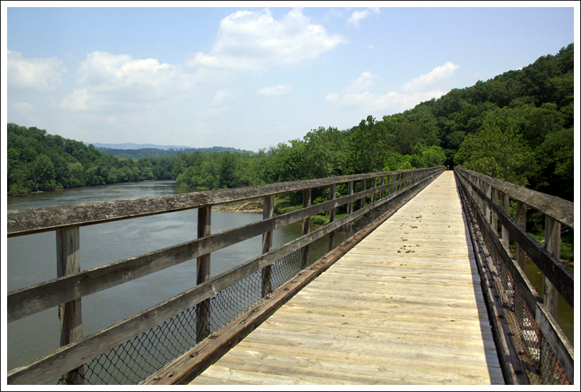
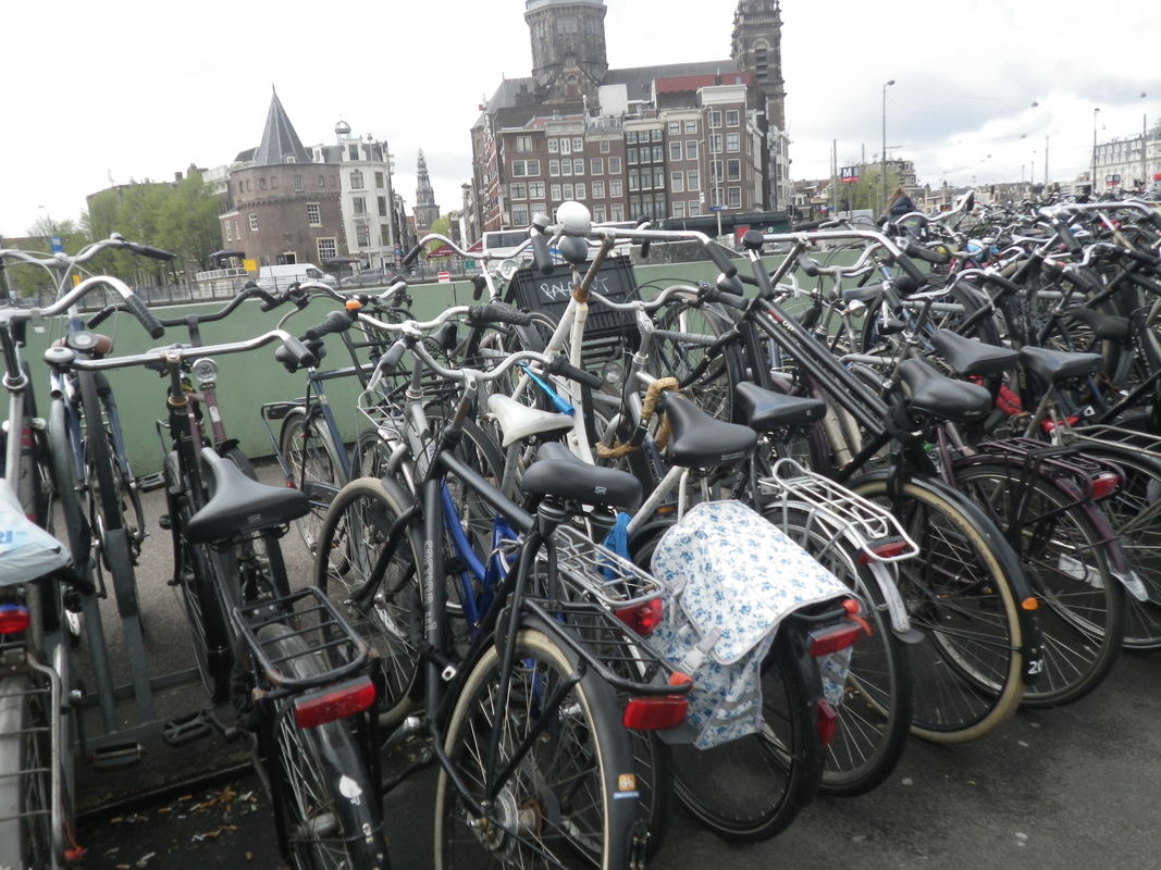
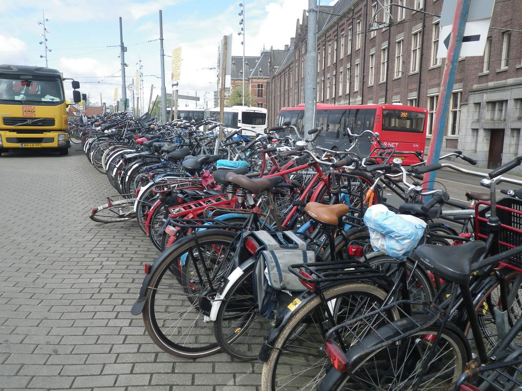
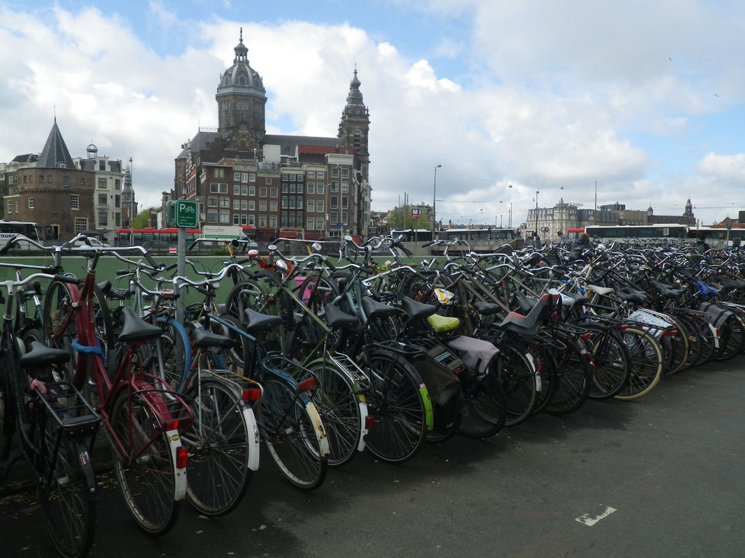
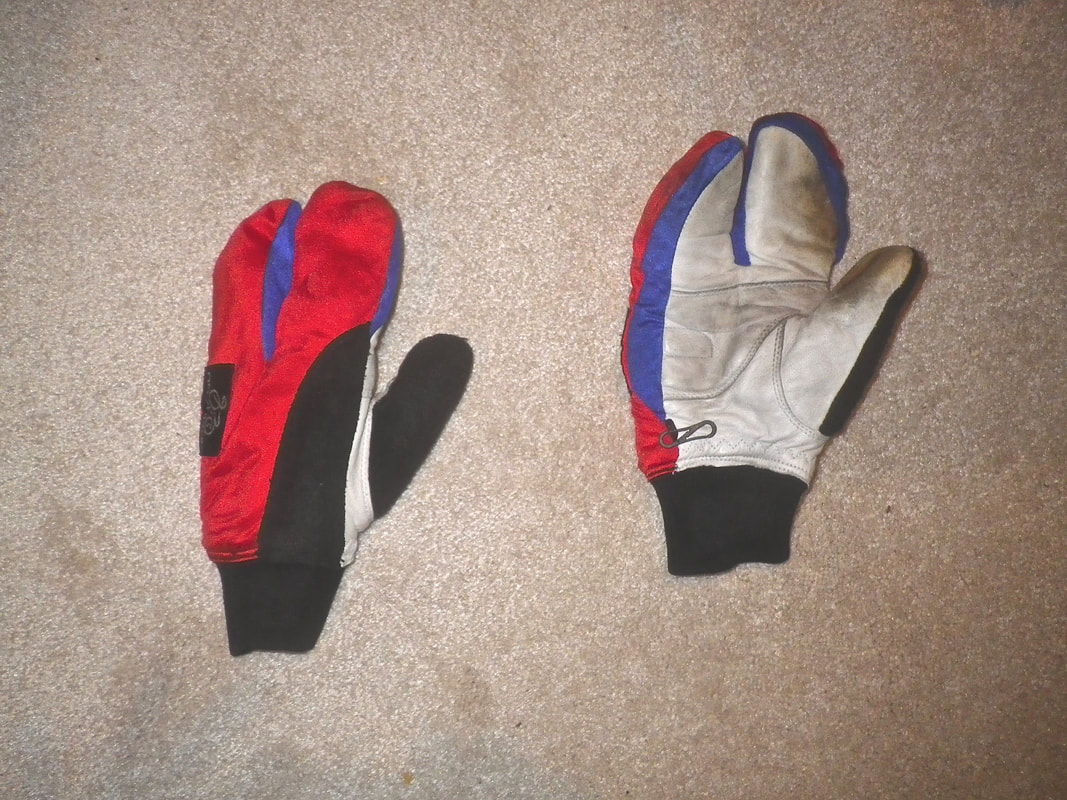
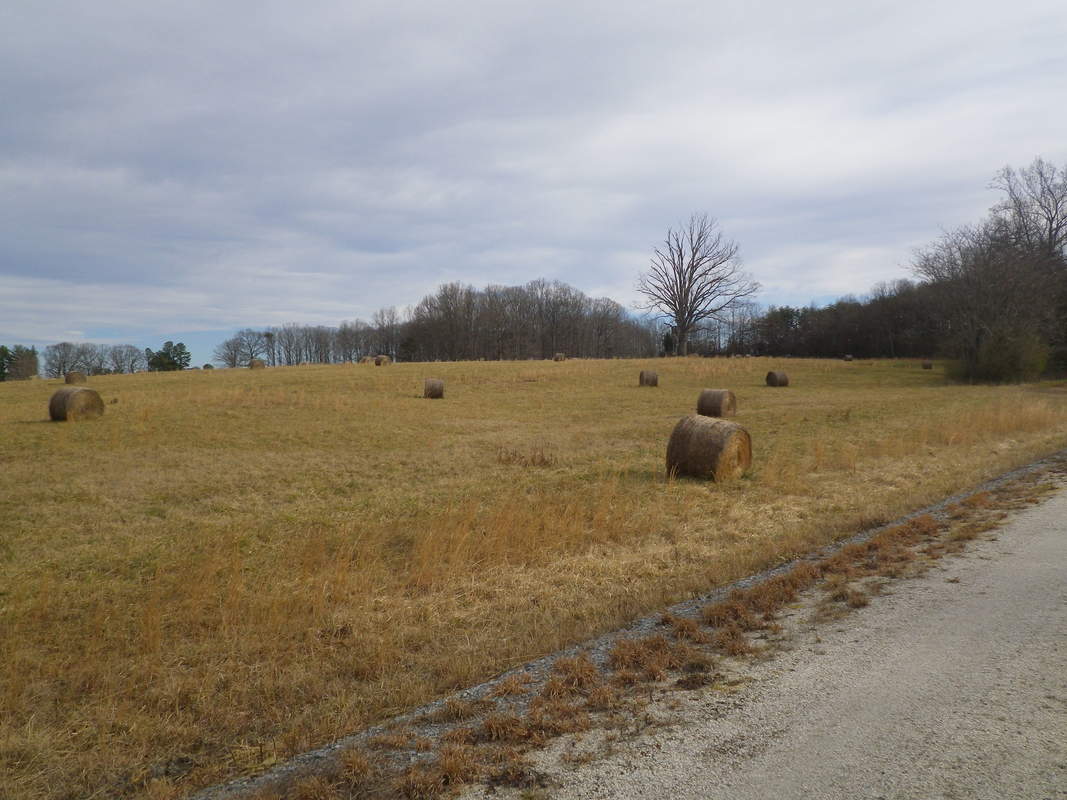
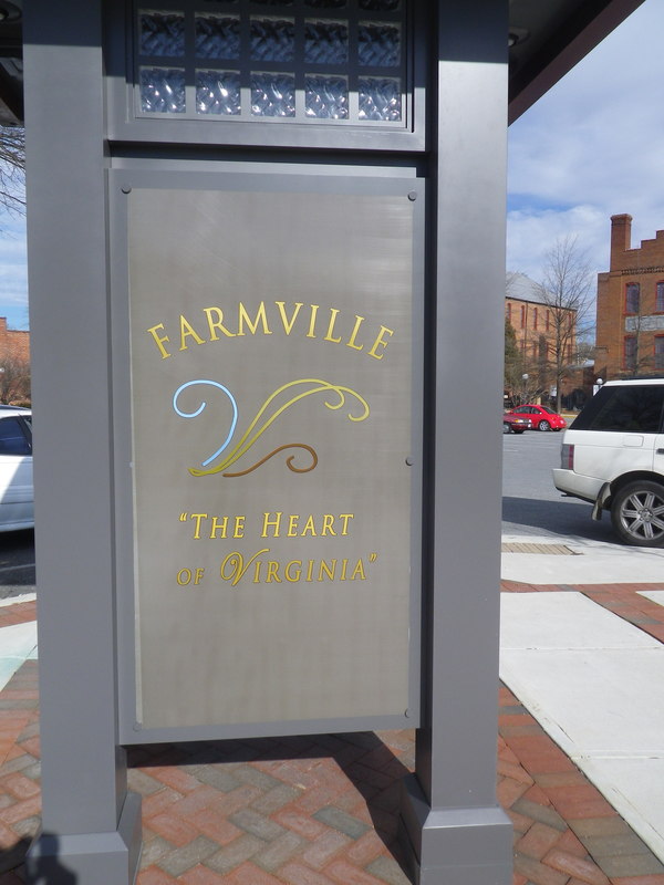
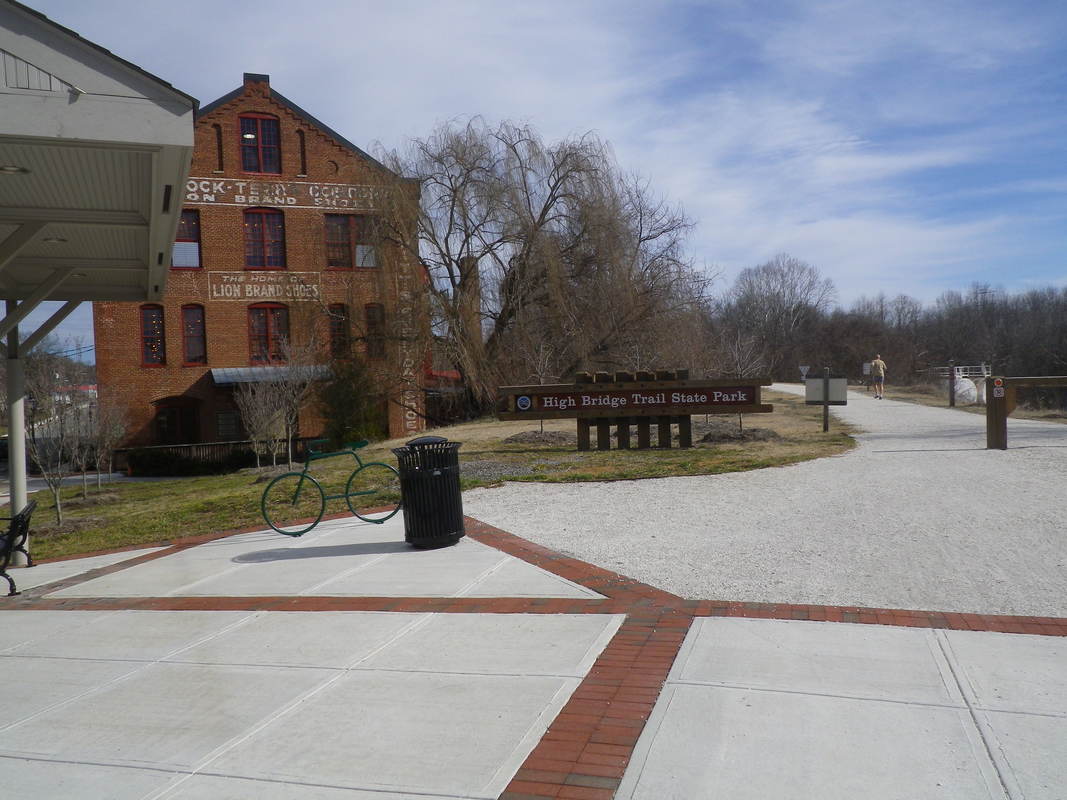
OUTDOORS INSPIRED

Bicycling 
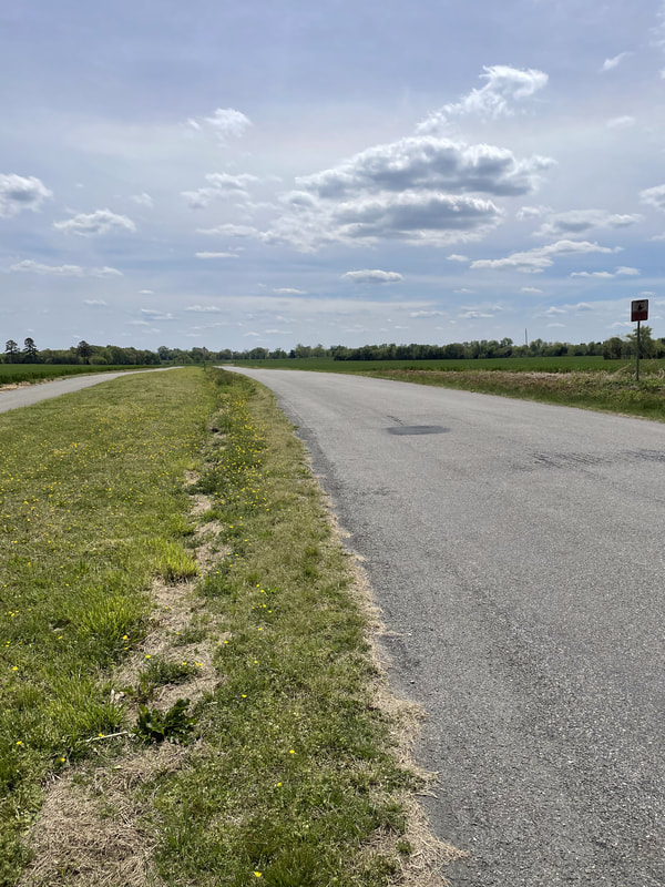
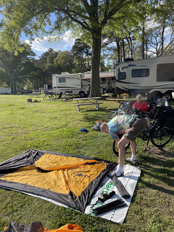
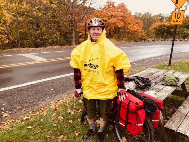
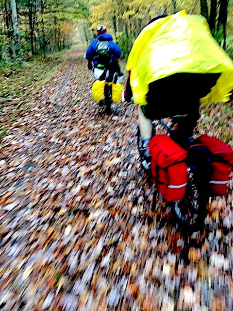
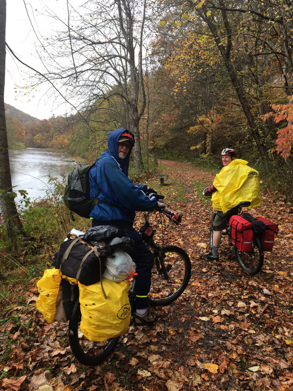
On or off the road bicycling can be fun and increase your overall fitness.  

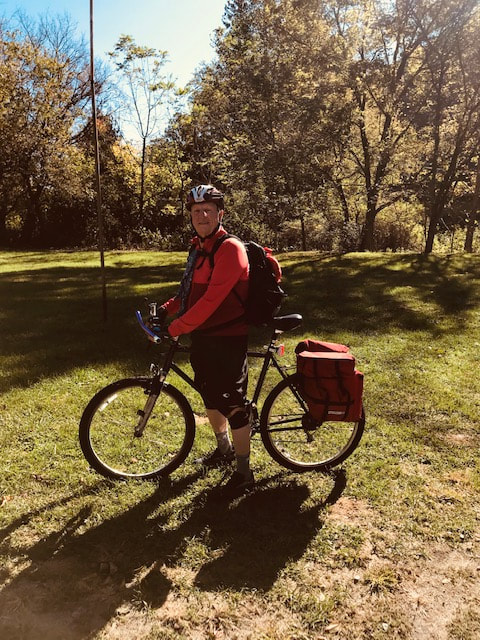
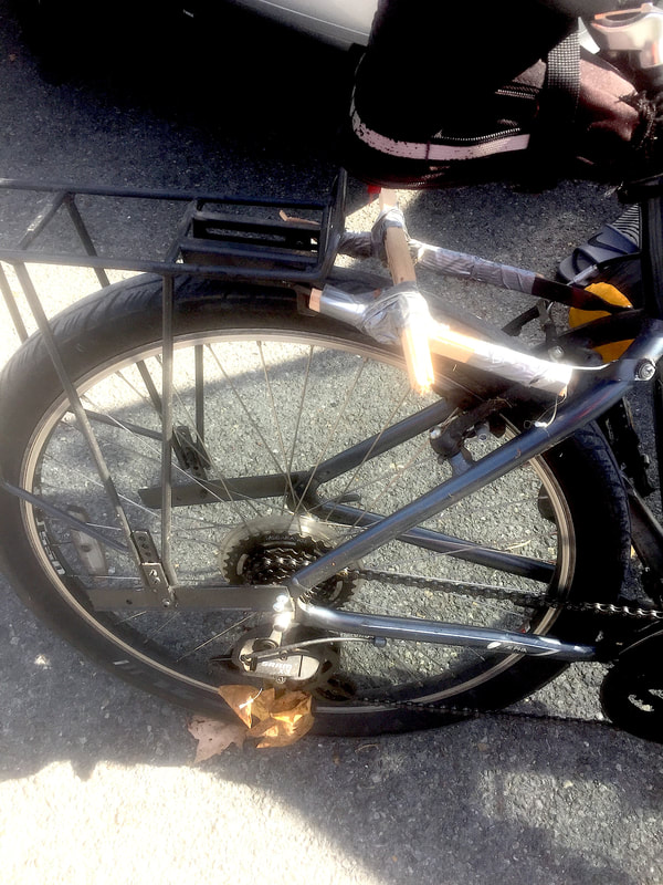
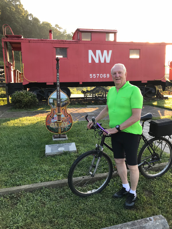
I have loved bicycling ever since my brother taught me how to ride a bike at the age of six.
My family lived outside of town, and the only way I could see and play with my friends was to bicycle to their house.
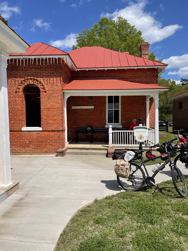
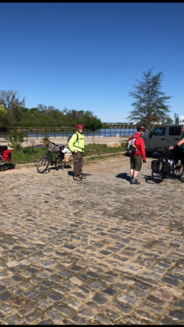
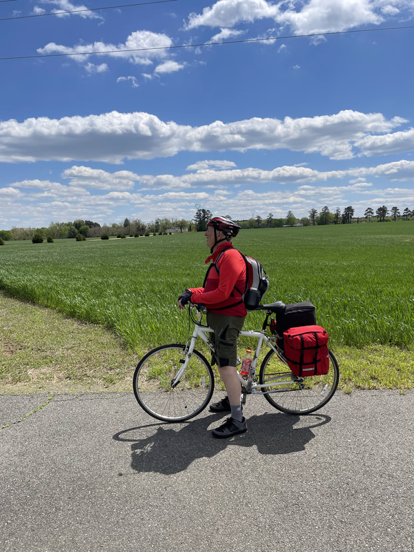
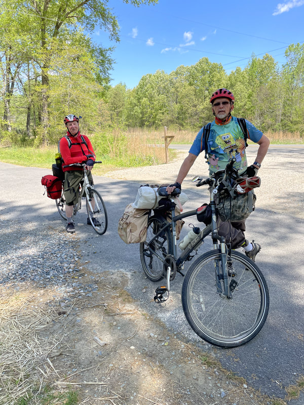
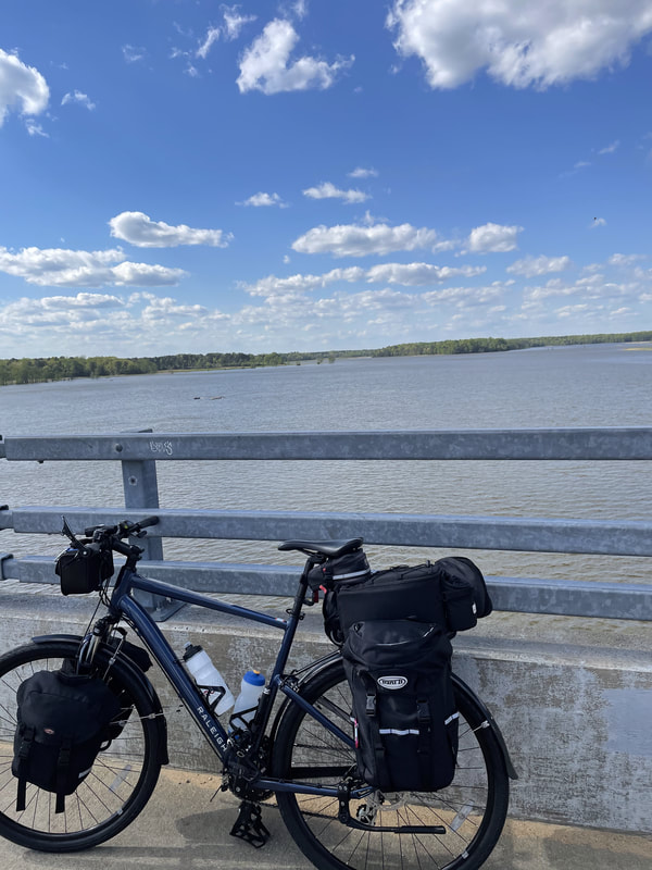
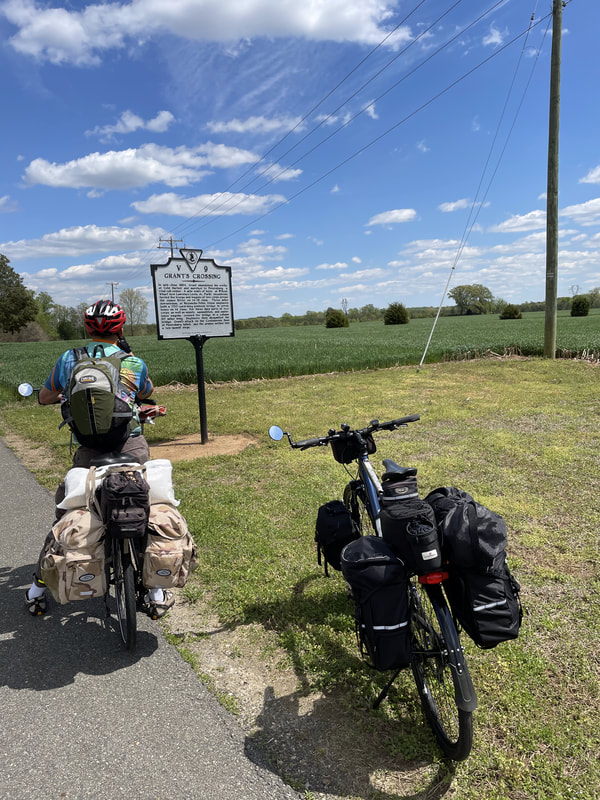
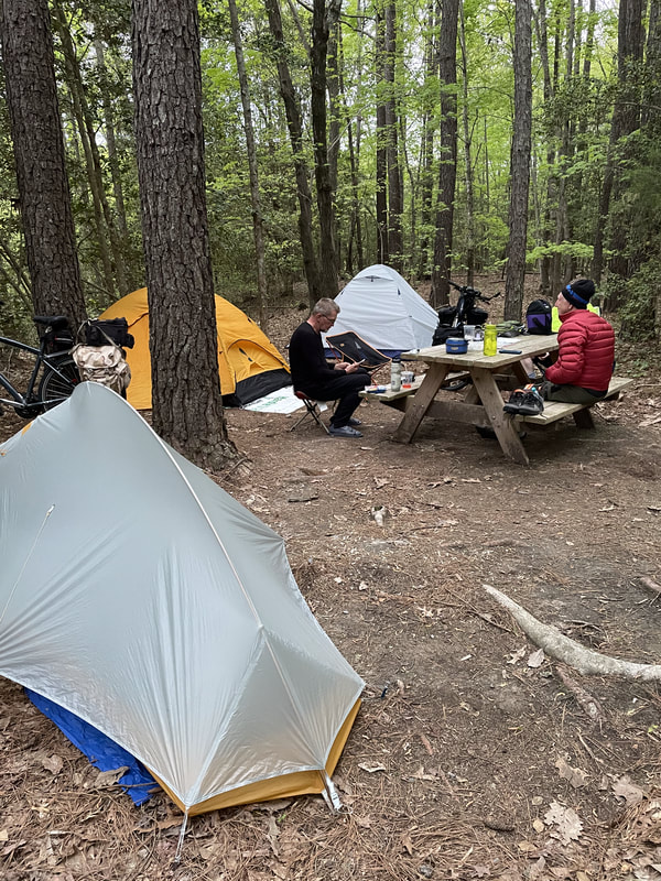
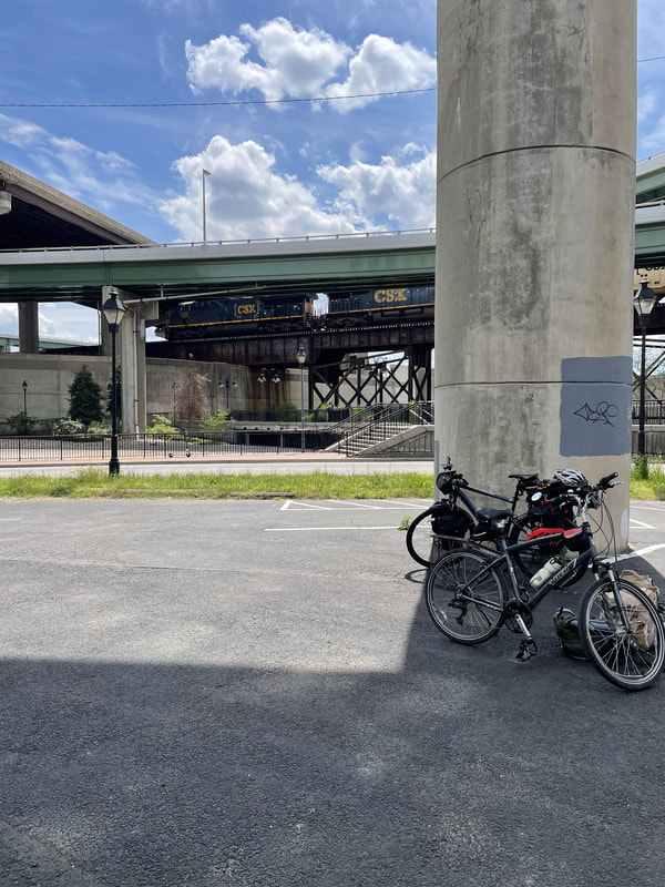
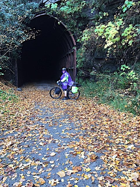
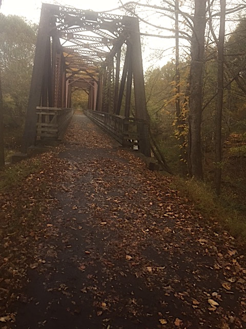
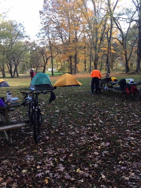
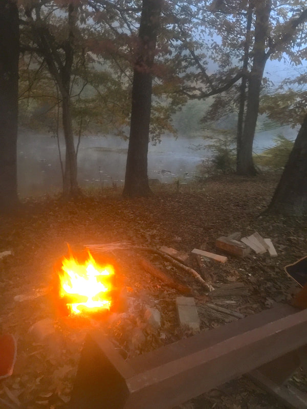
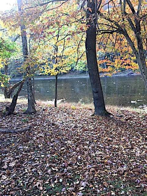
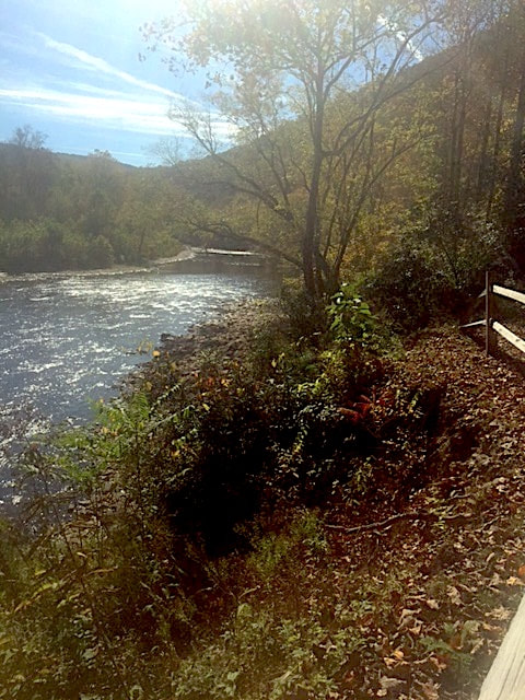
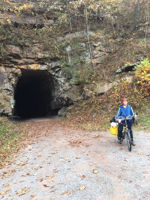
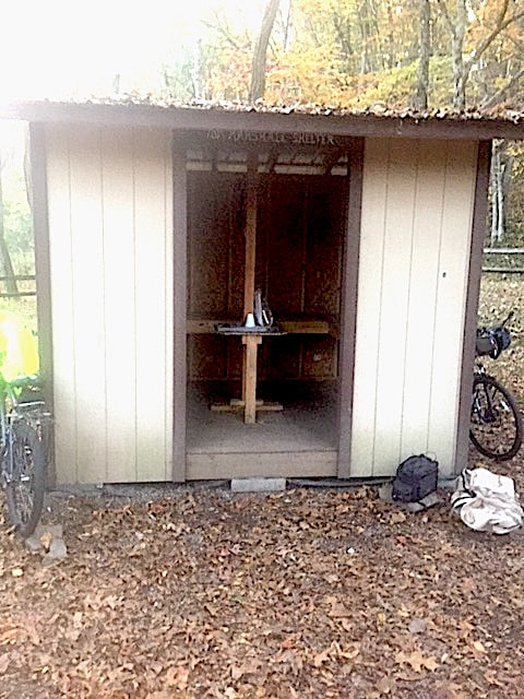
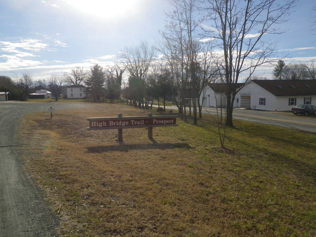
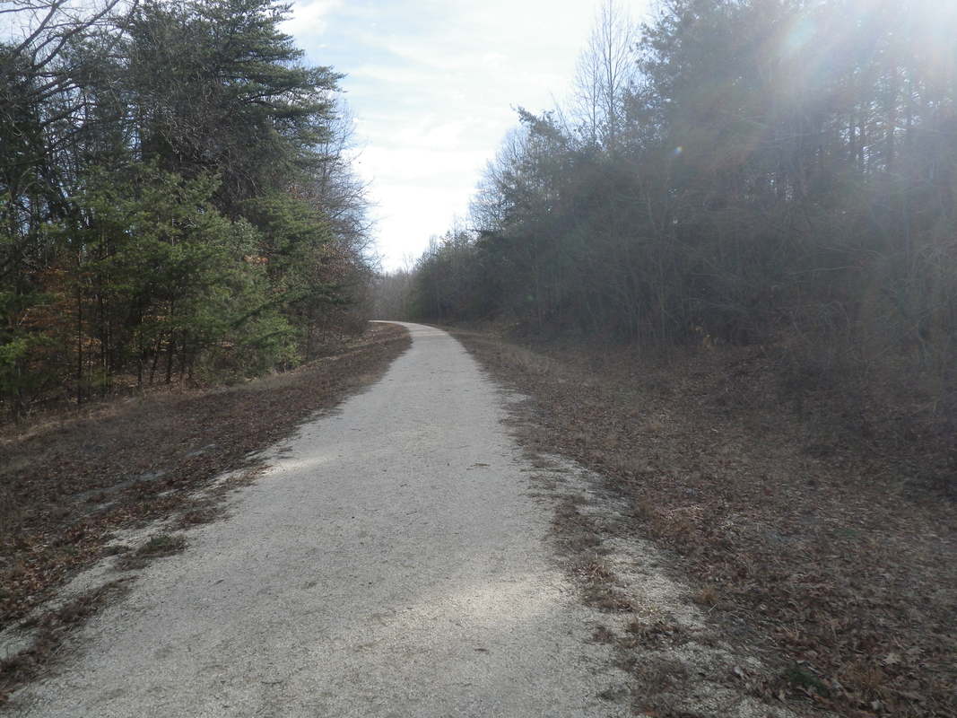
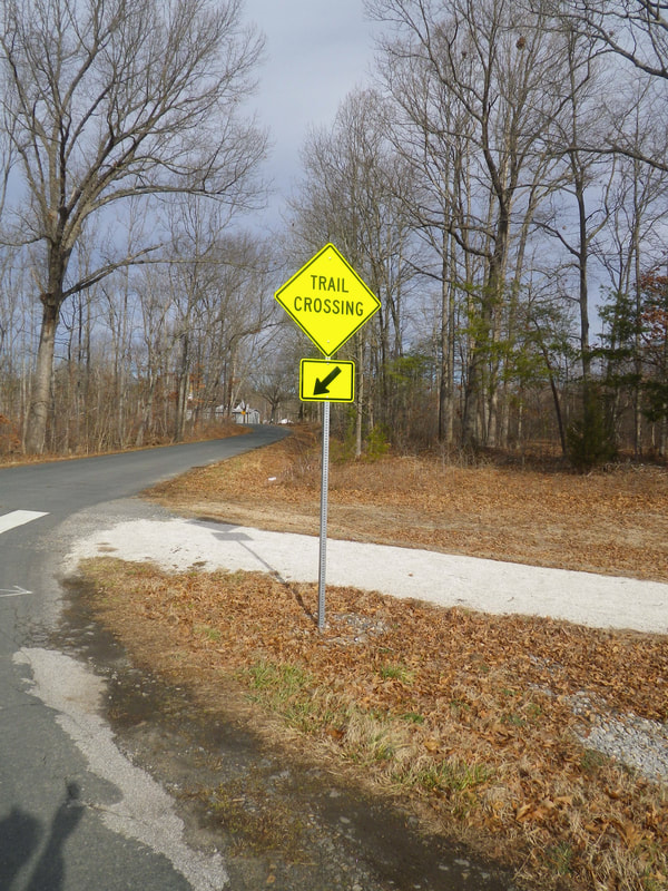
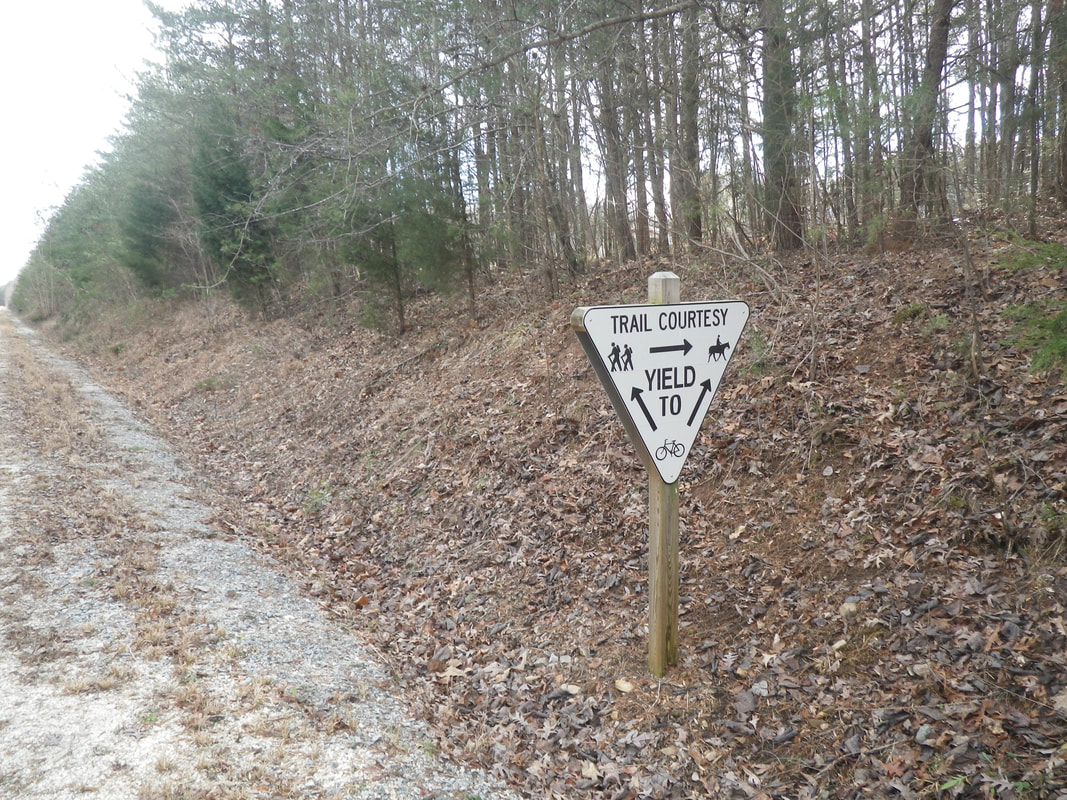
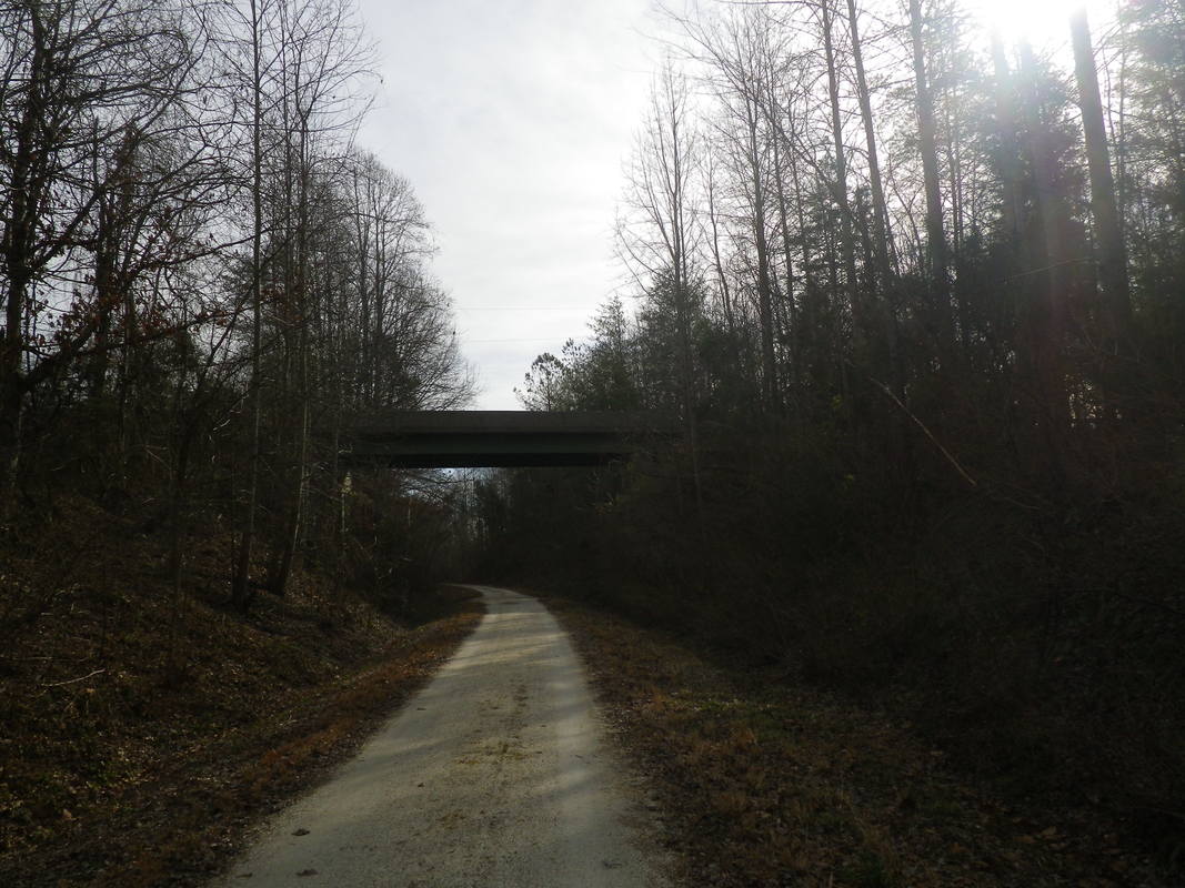
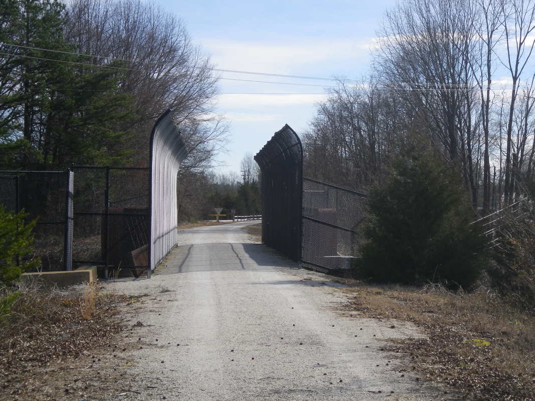
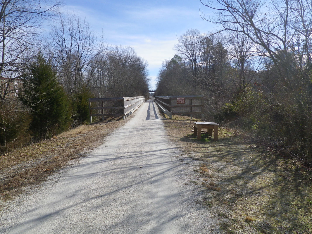
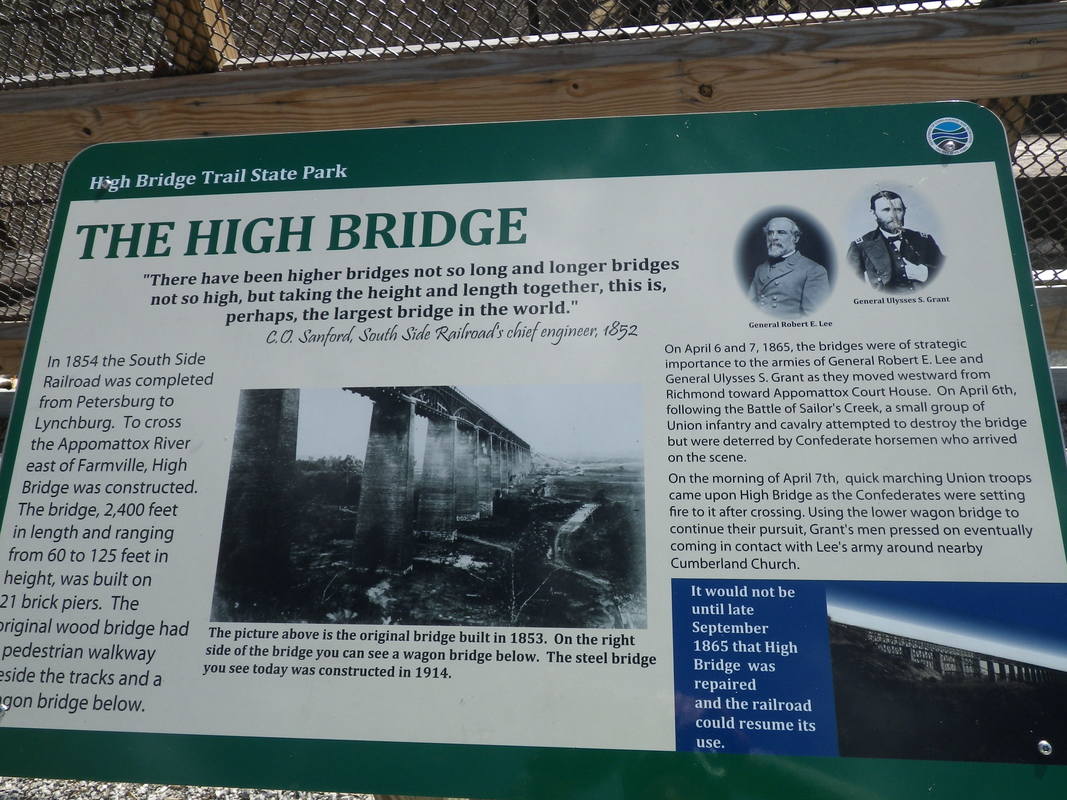
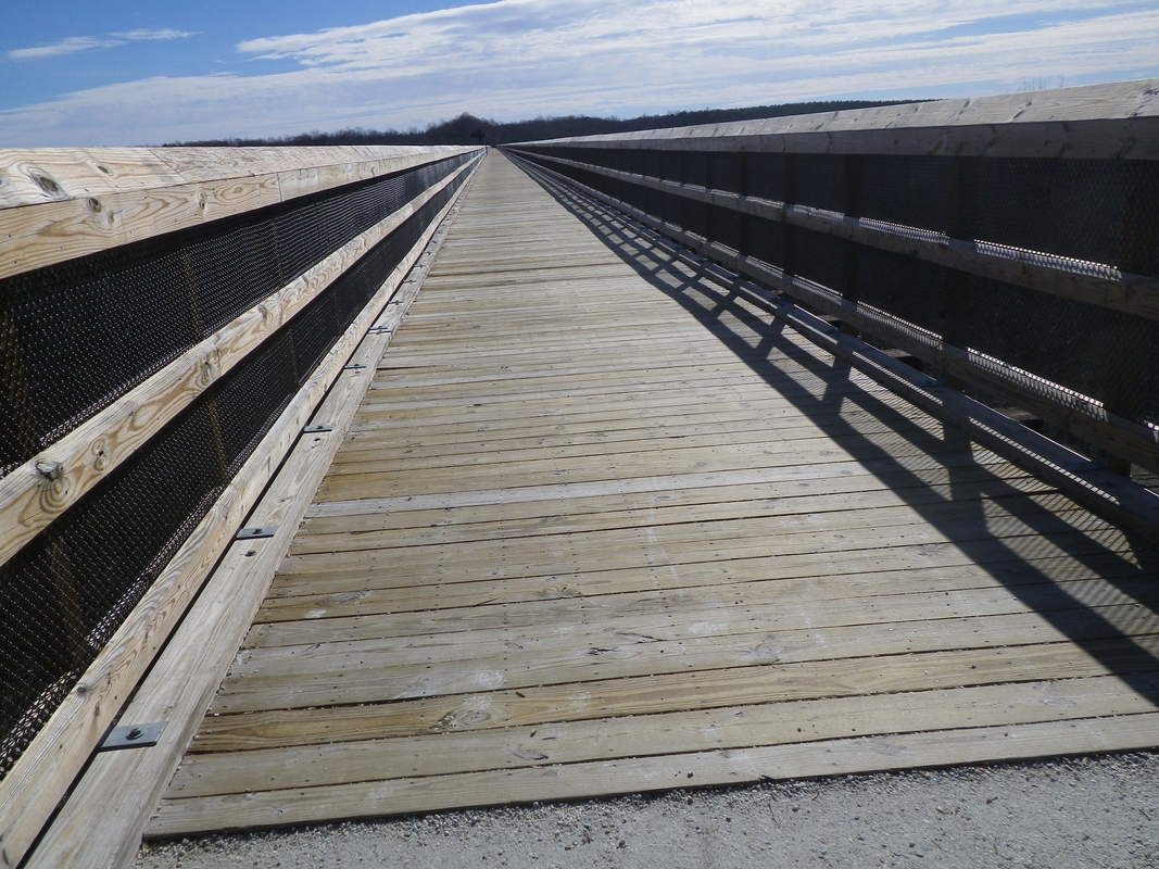
Later on I used my bicycle to go on long adventures along the roads and trails near my house.  Eventually, I used my bicycle as a means of travel to and from work.

  • Topic Overview
  • About
  • Contact
  • Backpacking/Hiking
  • Bicycling
  • Canoe/kayaking
  • Survival/Nature
  • Gear Review
  • Stories from the Trail

6/10/2021

bicycling/ bike packing the virginia capital trail

0 Comments

Read Now
 
Picture
                        Bicycle Packing the Virginia Capital Trail


The Virginia Capital Trail is a bicycling and pedestrian route linking Jamestown's first settlement capital of Williamsburg to the current Virginia Capital of Richmond.  It is a 52 mile shared-use trail featuring interpretive sites, with informational sign posts and mile markers along the entire length.  The southern trail head begins at the Governor's Mansion and follows the Colonial Parkway to Jamestown Island, the site of the original English settlement.  It turns west over the Chickahominy River, crossing through Charles City County and past the James River Plantations, as well as by the homes of Presidents John Tyler and William Henry Harrison.  The trail crosses many Civil War Battlefields and through Henrico County to the now capital city of Richmond.  The trail parallels the James River and State Route 5.  
​
Picture
Picture
          Interpretive signs depicting Grant's crossing of the James River
Picture
Westover Church first built in 1730 near the James River.
Picture
Charles City Courthouse monument
Picture
Charles City Courthouse 
Picture
Westover Parish established in 1613 and is still having Sunday services.
The trail was built in 1975 and is maintained by the Virginia Capital Trail Foundation, whose mission is to enhance, promote, and advocate for the continued development of the trail.  The Foundation hosts an annual fund raiser bike ride called the Cap2Cap. The Trail is part of the 4,228 mile TransAmerican Trail, as well as the Historic Coastal Route of the East Coast Greenway.  It cost $75 million to construct and received 550,000 uses the first year and now an average of 300 uses daily.  Milage is signed in single mile markers along the trail, color coded for different sections.  The busiest month is February.
​
Picture
Jamestown Settlement - the beginning of the Capital Trail at mile post 0.0
The trail is eight to ten feet wide, completely paved asphalt, and separated from all vehicle traffic.  The zero mile marker is located at Jamestown across from the Jamestown Settlement, and at the end in Richmond at the downtown flood gates of the Great Shiplock Park.  In many locations the trail is surrounded by deep woods, with an occasional wetland nestled in between crossing 30 wooden bridges and varying from mostly flat to rolling toward Richmond. 
     Points of interest include parks and wildlife habitats as well as numerous prominent historic monuments, buildings, and the Shirley and Berkeley Plantations.  There are 44 historic markers describing 400 years of political, social, military, and economic history.  One such marker championed Polish craftsmen who were recruited to establish the Jamestown Colony, and who became voting citizens in 1619.  Many native American tribes of the Wowinchapuncke and Paspahegh had villages along the trail. Another famous stop along the way is President Tyler’s Plantation, where he fathered 15 children by two wives with the last at age 70.  His 87 year old grandson still owns the plantation.
Picture
The trail is asphalt and eight to ten feet wide with a buffer strip separating cars and trail users.
I bicycled the approximately 105 mile round trip from Richmond to Jamestown to Richmond with my bicycling friends Tim and Terry in two nights and three days,  We were fully loaded carrying our food, water, and shelter on the bicycle.  Terry planned the trip, including our number of miles traveled per day and our campground accommodations.
Day 1
Day 1 started at the end of the trail at Rockets Landing in Richmond ,Virginia  Mile Marker 51.  We rode to Mile Marker 6.8 and camped at Chickahominy Riverfront Park Campground - a total of 44 miles.
Picture
Rockets landing
Picture
There were many farm fields actively being tended all along the trail.
Picture
We carried all our supplies for the three day two night trip.  The average extra weight was around thirty pounds.  
Picture
The first night's stay was at Chickahominy Riverfront Park
Picture
One of the nesting birds along the bridge crossing of the Chickahominy River
Picture
James River confluence with the Chickahominy River
Video of bicycling from Jamestown to Chickahominy Riverfront Park
Day 2
On day 2 we started at Chickahominy Riverfront Park Campground, bicycled south 6.7 miles to Jamestown, and turned around at mile post 0.0. Then we bicycled 22.7 miles to Lawrence Lewis Jr. Park Campground, a total of 29.4 miles.
Picture
Taking a break along the trail
Picture
Second night stay at Lawrence Lewis, Jr. Park primitive campsite
Picture
All set up for the night's stay
Day 3
Our day's ride started at Lawrence Lewis, Jr. Park Campground, and we bicycle back to Rockets Landing in Richmond, Virginia,  a total of 31 miles.
Picture
Downtown Richmond, Virginia 

Share

0 Comments

11/15/2020

Bicycling the Greenbrier River Trail

2 Comments

Read Now
 

Bicycle packing the greenbrier river trail 
​                           west virginia

     I have always found it a special outdoor event riding a bicycle on a multi-day trip.  I love being totally independent and self sufficient along the trail.  Much like the early colonists all of my cooking, sleeping, and riding hinges on how well I have planned my trip.  The Greenbrier River Trail in West Virginia gave me the opportunity to exhibit my bike-packing skills.

​Planning a Bicycle-packing Trip
     Planning a bicycle-packing trip is much like planning a hiking-backpacking trip.  I had to provide the necessities to meet every occasion along the way.  The proper bicycle, map, food, shelter, first aid, and clothing had to be considered for a comfortable outdoor experience. I have included such a list on my previous blog. 

Greenbrier River Trail

Picture
     The Greenbrier River Trail is part of the West Virginia Park System.  It was originally part of the Chesapeake and Ohio Railroad.  It is now part of the Rails-to-Trails system.  Throughout the United States old railroad beds have been converted to hiking and biking trails.  

History

     In the beginning in the 1900's the railroad was built to carry cut timber from logging operations to nearby saw mills. The railroad followed the contour of the Greenbrier River.  Later in 1958, after the area was logged out, the railway  converted into a passenger train operation and again into a freight train system.  It all came to an end in 1978 when operations ceased, and the railway was donated to the state park system.  The railroad bed was kept as is, but the ties and tracks were removed.  The original one to two percent grade remained in tact.  Because it followed the Greenbrier River the trail was given the name the Greenbrier River Trail.  It is believed that a French explorer called the river the Ronce Verte, hence Green River.  Later on, the local residents believed the name changed from Green River to Greenbrier River because of the many green briers found along the river. 
 
Location

     The Greenbrier River Trail is part of the Rails-to-Trails trail system in West Virginia.  It is 77 miles long beginning in the town of Cass and ending near the town of Caldwell. It passes through the Monongahela National Forest, Cass Scenic Railroad State Park, Seneca State Forest, Watoga State Park, Calvin Price State Forest, and the Greenbrier State Forest.  The Greenbrier River flows along  the trail the whole 77 miles through the valleys of the Allegheny mountains.  The trail passes through Pocahontas and Greenbrier Counties.  The Allegheny mountains create valleys that the locals call "hollers."   Cell phone service is minimal because the area is within the National Radio Quiet Zone. 
​
Day 1

     Early on day one two friends and I chartered a shuttle from the end of the ride at mile post 3 to the beginning of the ride at mile post 80. The shuttle took the three us, our bicycles, and gear to the beginning of the trail in Cass, West Virginia, at mile post 80. We carried all of our own gear consisting of a shelter, food, clothing, and personal gear for the three day ride.  The average extra weight was about 40 pounds.  Our automobiles were left at the end of the trail for our ride home.  The weather forecast predicted fifty percent rain.  The shuttle driver said for us not to worry because the area residents did not worry about getting wet until the rain forecast was 80 percent.  We were glad to hear that, but the minute we got out of the van it started to rain.  It rained that whole day.  
     We put on our rain gear and began our ride.   Ponchos and raincoats protected us from the pouring rain.  Our objective was to bicycle 24.9 miles to Stillwell Park just past the Town of Marlinton.   Our ride took us past the Towns of Sitlington, Stony Bottom, Clover Lick, Clawson, and Thorny Creek.  All of these towns were very small whistle stop towns.  No fast food restraurants were found there.  The beautiful falling multicolored leaves lifted our drenched spirits. The fall colors were magnificent. The wet leaves occasionally got stuck in our wheels making a clicking, rubbing sound.  When I was a young boy I created that same clicking sound in the wheels of my bike by attaching playing cards to my wheels so they  would rub on my spokes and make the same sound.
We bicycled past the only remaining water tank built in 1923 used to replenish water for the steam engines. We had to put on our bicycle lights to go through the 511 foot Sharps Tunnel built in 1900.  We also crossed over the nearby 229 foot bridge towering 30 feet above the river that is believed to be a great fishing spot for the local population.  The Town of Stillwell allowed us to camp near the river in the town's sports complex and use the bathroom facilities at the park. The camping area was over-shadowed with lots of oak trees with falling acorns.  On one bicycle a tire went flat because it ran over an acorn.  One of our members called the shuttle service owner, who for a price, brought us dry wood for a campfire.  In our group we had the best campfire maker; he even got up early the next morning and had a roaring fire for breakfast.  It was a restful sleep except for the hound dogs howling all night and the highway department working on a road until midnight. 
Picture
All geared up
Picture
The Town of Cass
Picture
Ready to ride in the rain
Picture
Riding on the wet trail
Picture
Rest stop
Picture
Sharps Tunnel
Picture
229 Foot bridge over the Greenbrier River
Picture
Stillwell Park near the Town of Marlinton
Picture
Camping area in Stillwell Park
Picture
Heavy fog rolled in the first night
Picture
We camped under Oak trees near the river

Day 2
​
     It was sunny the next day in October and the beautifully colored leaves were still falling along the trail. They again brightened our spirits and renewed our belief in God's creation.  The trail passed by many small farms with pretty green pastures.  We passed by the towns of Buckeye, Violet, Watoga, Seebert, Horrock, and Rorer for 26.6 miles.  The walnut trees growing along the trail dropped large walnuts that made it hard to bike.  The 402 foot Droop Mountain Tunnel was just north of our next stay. It was again cool and damp in the tunnel.  It was also scary because we could not see the opening for the other side and the ground was slanted and pocked with holes.  We passed by many hikers and bicycle riders along the way.  We met an older gentleman who had built his own four-wheeled electric bicycle out of a lot of two inch PVC pipes.  We stayed at a campsite that had well water,  a shelter, privy, fire ring, and tent pads. The weather that night was again in the 30's.  I boiled some water and poured it in a nalgene bottle and put it in the bottom of my sleeping bag for warmth.  We had a fire that night and a fire again in the morning.  
​
Picture
Class I rapids along the river
Picture
Droop Mountain Tunnel
Picture
Wooden trestle over a tributary to the Greenbrier River
Picture
Majestic calendar view along the river
Picture
Our second night home away from home
Picture
Six person shelter at the camp site
Picture
All tents ready for the tired bicyclers
Picture
Fire ring warm camp fire
Picture
Waiting for our dinner to finish cooking
 Day 3

​     The last day of riding brought bright and sunny weather.  We enjoyed passing by each mile marker on the way back to our automobiles for a total of 25.5 miles  Our custom while riding the entire trail was to ring our bicycle bells every time we saw a big white W marker.  The marker was a signal for trains to blow their whistle near an intersection to warn anybody crossing the tracks.  We passed by the towns of Renick, Anthony, Keister, and Hopper.  At the end we changed into an extra set of clean clothes for the ride home. One of the only problems we had was on one of our bikes the pannier (saddle bag) rack was not quite strong enough to hold the heavy weight carried in the panniers without rubbing on the wheel.  The rider used duct tape and wooden rods to make it stronger. 
Video trail ride Renick to Caldwell West Virginia
Picture
A view of the river
Picture
A view to remember
Picture
One of the remaining restored railroad stations along the trail
Picture
The Greenbrier is perfect for a lazy float down the river
Picture
 Rolling farm land along the trail
Picture
A shade tree mechanic fixed his bike with a little duct tape and wood strips and removed a few leaves in  the derailer.
     Most of the pictures in this podcast were taken by my bicycling partners Tim and Terry.
The Lord himself goes before you and will be with you; He will never leave you nor forsake you.
​Do not be afraid; do not be discouraged. Deuteronomy 31:8 NIV

Share

2 Comments

11/4/2020

Bicycling Check list for Fall/winter Bicycle packing

0 Comments

Read Now
 

​Fall/Winter Bike Touring Below is a list of the essential items I carry on a bicycle touring/camp trip


Much of what you take is a matter of comfort 
The more the comfort the more the weight
The lighter the gear the more it costs


_____ I always leave a clean fresh set of clothes in the parked car for the                     ride home


Clothes

______Bike jersey,
______Shorts, or wind pants,
______Socks,
______Shoes,
______Underware, 
______Gloves, 


Depending on the weather

______Rain jacket, 
______Wind breaker, 
______Rain pants,
______Sleeping clothes (shirt, pants, socks, hat if cold weather),
______Heavy Weight jacket, Down
______Skull cap, 
______Long sleeve shirt,
 ______Pants, 
______Bandanna,


Shelter

______Tent,
_______Sleeping mattress,
_______Sleeping bag and compression sack, 20 degree,Bag Liner,
_______Ground cloth,
_______Pillow,


Cooking

_______Stove,
_______Cup,
_______Pot,
_______Spork, utility knife, 
_______Paper towels,
_______Matches,
_______Water Treatment, Purification tablets,
_______Camp food (dehydration packets) Snacks (power bars) lunch,
_______Drink mix (coffee, gatorade etc.),


Personal Items

_______Tooth brush and paste,
_______Soap,
_______Small wash cloth,
_______Towel,
_______Small flash light or head lamp,
_______Pee bottle,
_______Phone,
_______iPod,
_______Medical card (medicines, next of kin, etc.),
_______Camp clothes (shoes, shirt, pants/shorts),
_______First aid kit ,
_______Pepper spray,
_______Toilet paper,,


Bicycle

_______Head light,
_______Tail light,
_______Computer,
_______Helmet,
_______Water bottles (2),
_______Tires (extra tube, patches, pump),
_______Panniers/pack (rain covers, back, front, handle bar), Poncho
_______Bike multi tool (wrench, screw drivers, allen wrench, etc.),
_______Chain lube (old tooth brush to clean chain),
_______Water proof garbage bags,


Extra Items

_______Hand sanitizer,
_______Mask,
_______Camera,
_______Zippered plastic bags (zip lock),
_______Map, Journal, pencil,
_______Duct Tape, small wrap,
_______Bungie cords,
_______Cash for shuttle and extra food etc.


Share

0 Comments

11/4/2020

Bicycling Check List for Spring/ Summer touring/ camping

1 Comment

Read Now
 

Bicycle Touring Spring/Summer camping
​

,

Much of what you take is a matter of comfort 
The more the comfort the more the weight
The lighter the gear the more it costs


_____ I always leave a clean fresh set of clothes in the parked car for the                     ride home


Clothes

______Bike jersey,
______Shorts,
______Socks,
______Shoes,
______Underware, 
______Gloves, 


Depending on the weather

______Rain jacket, 
______Wind breaker, 
______Rain pants,
______Sleeping clothes (shirt, pants,socks, hat if cold weather),
______Mid Weight jacket, 
______Baseball cap, 
______Short sleeve shirt,
 ______Pants, 
______Bandanna,


Shelter

______Tent, hammock,
_______Sleeping mattress,
_______Sleeping bag and compression sack, 40 degree,
_______Ground cloth,
_______Pillow,


Cooking

_______Stove,
_______Cup,
_______Pot,
_______Spork, utility knife, 
_______Paper towels,
_______Matches, lighter
_______Water Treatment, Purification tablets,
_______Camp food (dehydration packets) Snacks (power bars) lunch,
_______Drink mix (coffee, gatorade etc.),


Personal Items

_______Tooth brush and paste,
_______Soap,
_______Small wash cloth,
_______Towel,
_______Small flash light or head lamp,
_______Pee bottle,
_______Phone,
_______iPod,
_______Medical card (medicines, next of kin, etc.),
_______Camp clothes (shoes, shirt, pants/shorts),
_______Swimming suit,
_______Fishing Rod,
_______First aid kit, 
_______Pepper spray,
_______Toilet paper,
_______Sun protection, insect repellant,


Bicycle

_______Head light,
_______Tail light,
_______Computer,
_______Helmet,
_______Water bottles (2),
_______Tires (extra tube, patches, pump),
_______Panniers/pack (rain covers,back, front, handle bar),
_______Bike multi tool (wrench, screw drivers, allen wrench, etc.),
_______Chain lube (old tooth brush to clean chain),
_______Water proof garbage bags,


Extra Items


_______Hand sanitizer,
_______Mask,
_______Camera,
_______Zippered plastic bags (zip lock),
_______Map, Journal, pencil,
_______Duct Tape, small wrap,
_______Bungie cords,
_______Cash for shuttle and extra food etc.

Share

1 Comment

10/10/2018

New river trail State Park

0 Comments

Read Now
 

The New river trail-virginia

 General information

The New River State Park is the longest linear park in Virginia, passing through 57 miles of the Blue Ridge highlands.  It travels on an abandoned railroad right-of-way through the counties of Grayson, Carroll, Wythe, and Pulaski as well as the cities of Galax and Pulaski.  The trail is designed to accommodate horse riding, bicycling, and hiking.  It parallels the New River for 39 miles and is covered by a lush canopy of trees.

The trail is approximately 4 to 6 feet wide made of a low grade crushed stone and cinders.  Because it was once used as a railroad to haul iron ore across the state, the total elevation rise or fall is less than a 3% grade.  That means the average occasional trail user should have no problem traveling along the trail.

The trail offers primitive camping, potable water, 5 non-flush toilets, rest spots with picnic tables along with location maps, and many roadway access points.  There is also a livery for horses and at the Foster Falls Park headquarters one can rent bicycles and canoes and arrange for guided horse back riding trips.

The New River is the oldest river in the state of Virginia, and some of the structures along the river are at least 100 years old.  Iron ore furnaces, along with the Shot Tower, are within eyesite of the trail.  Shot Tower was used to make aminuition for use in the Civil War.  The Draper Mercantile with it's front porch rockers and country style restaurant and inn have served people for as long.

The tail offers bridge/trestle crossings of the New River at Hiwassee 951 feet, Ivahoe 670 feet and Fries 1,089 feet.  There are also about 30  smaller trestle crossings.  In railroad terms a trestle is a small bridge crossing made up of short deck sections joined together and supported underneath by piers in the water the entire width of the river.  A bridge is usually a long river crossing where the entire deck is supported from both banks of the river and has very few support structures in the river.  

One travels through two tunnels of 135 and 193 feet.  The tunnels are also used by hikers and horse back riders.  It is very dark in the tunnels, and to be safe you should have a light on your bike to help you see and to alert anyone else of you presence.
Picture

the Guided bicycle Tour

 The New River State Park at 116 Orphanage Drive, Max Meadows, VA 24360, publishes a map of the trail.  Their website is [email protected].
Picture
A Video of the Beginning of the Bicycle Ride From Pulaski, Virginia to Austinville, Virginia
​
Picture

Passing Through Several Large Rock Formations
​
Picture

​A Typical New River Crossing
​
Picture

Horse Livery for Trail Riding
​

A Video of the Bicycling Ride From Austinville to Galax
​
Picture

Shot Tower Monument
​
Picture

Park Office/Headquarters and Campground
​
Picture

End of the New River Trail in Galax,Virginia

Direct my footsteps according to your word; let no sin rule over me.
Psalm 119:133


​​

Share

0 Comments

5/16/2018

Bicycling in Amsterdam, Netherlands

1 Comment

Read Now
 

Bicycles in Amsterdam Holland

I recently traveled to Amsterdam on vacation.  I was impressed seeing the hundreds of bicycles in bike racks all over the city.  Amsterdam is called "Europe's city of bicycles." There are approximately 881,000 bicycles registered in the city.  Most of the people who work or play in the city go by bicycle or walk to their destination.  Most of the city's population are not over weight.  You see people of all ages riding bicycles.  They may be dressed up as if going to a party or in jeans looking for recreation.
Picture
There are pproximately 54,000 bicycles stolen each year since 2005.  A new bike costs around 200 Euros or around $240 US and 50 to 200 Euros used.
Picture
On the average there are 8,200 bicycles parked at the central train station every day. Each year there are approximately 12,000 - 15,000 bicycles pulled from the canals that radiate from the Rhine River each year.
Picture
Amsterdam has the only museum that you can ride through with your bicycle at Rijksmuseum.  There are 400 kilometers or 248.5 miles of bike paths throughout the city.  I had to be sure not to linger in the bike path because bike riders have no patience for walkers, as they ring of their bicycle bells.  At times motor scooters and skate boards travel in bike lanes.  It is not unusual to see young children being carried on the front as well as the back of bicycles.
​
I will strengthen them in the LORD
and in his name they will live securely, declares the Lord.
​Zechariah 10:12

Share

1 Comment

11/7/2017

Winter Bicycling

0 Comments

Read Now
 

Be prepared for winter Bicycling

I have bicycled during all seasons of the year, and winter time is no exception.  
Picture
A small under the seat (saddle) carrying bag is needed to carry the bare essentials for bicycle repair.
Picture
Inside the carrying bag should be an extra tube, tire changing tool, and an emergency CO2 tube for inflating.
Picture
I always carry some tape, an adjustable wrench, and a few bungy cords.
Picture
A bike helmet is a must.  I like attaching the third-eye mirror to view any oncoming traffic.  I use this type of mirror because the mirror is close to my eye, enabling me to have a large field of view without turning my head.
Picture
I carry at least one water bottle and  two are preferably better.
Picture
When I have an attachment site on my bike, I like to carry a manual air pump for tire inflation.
Picture
It is very important to try to keep your hands as sanitary as possible.  Many of the port-a-potty bathrooms are not as sanitary as you would like, and it is easy to pick up the Norovirus from its use.
Picture
I use a neckerchief to help keep my neck from getting cold.
Picture
A good pair of wool socks will help to keep your feet dry and warm.
Picture
I am not a proponent of a cleated-type biking shoes and peddles.  I like the toe-clip type  peddles because I can, in case of an accident, remove my shoes from the peddles in a hurry.   If I break down or if I want to sightsee an area, it is easier to walk in non-cleated shoes.   Cleated shoes are good for racers, not for touring or trail riding. 
Picture
A good wool jersey will keep you warm and dry.
Picture
Biking tights will help keep the wind chill factor from making you cold.  Most winter tights have two layers of synthetic and wool material.
Picture
I usually like to wear three-fingered mittens with an inside glove liner.
Picture
 Leg or arm warmers may also be added if you are biking in freezing temperatures.
Picture
 Boots may be added over the biking shoe to keep the chill factor down.
Picture
A good wicking base layer shirt under the wool jersey will help to keep moisture from building up under your coat.
Picture
A balaclava head covering is good to keep the ears and neck warm.
Picture
To keep the wind chill factor down a peddle hoodie can be placed around each peddle.
Picture
It is important to wear reflective  gear when cycling at night.   
Picture
Reflective vests are also available. 
I bicycled to and from work--a distance of twenty miles for ten years--in all kinds of weather.   When I was training for a triathlon I ran seven miles at 4 AM, bicycled to work, swam at lunch time, and then bicycled home.  Sometimes I had to bicycle during a hail storm, and the pieces of ice passed through the slots in my helmet, hitting my head.   Snow and ice on the roadway made it slippery and difficult to peddle.   I was struck by an automobile twice and managed to walk away,   I always bicycle with a helmet and rear view mirror.

Share

0 Comments

10/26/2017

High Bridge Trail Virginia State Park                        Farmville, Virginia

1 Comment

Read Now
 
Picture
The High Bridge Trail begins in the Town of Prospect and ends thirty-one miles in the Town of Burkesville, crossing through the Town of Farmville, Virginia.  A donation box has been placed here to help maintain the upkeep of the trail.
Picture
​The trail is constructed of hard-packed crushed limestone.  It is approximately four feet wide and mostly flat.
Picture
Warning signs are posted at every roadway/bicycling crossing.
Picture
This is a multi-use trail used by hikers, bikers, and, horseback riders. Bicyclers  yield to hikers and horseman.
Picture
Much of the land along the trail is still used for farm land.
Picture
The trail was originally built as a train railbed, connecting Petersburg with Lynchburg, Virginia, and many of the train mile markers still remain.
Picture
Several secondary roads cross overtop of the trail.
Picture
In roadway crossing areas special bridges with high curved rails are constructed to keep automobiles safe.
Picture
Resting benches have been constructed by the Boy Scouts as an Eagle Scout project.
Picture
Warning "T's" have been placed along the trail where safety is a concern.
Picture
Many bird boxes have been placed along the trail to encourage the establishment of wildlife communities. ​
Picture
The trail crosses over Route 460, a four lane road leading to Burkesville.
Picture
A sign marks the Town of Farmville, Virginia, and an area with modern bathrooms. ​
Picture
Approximately a mile north of High Bridge, the trail passes through the Town of Farmville, Virginia.
Picture
Historical markers that tell the bridge's history are found along the bridge.  High Bridge was the location of two Civil War battles on April 6th and 7th, 1865 just days before the final surrender in Appomattox, Virginia.
Picture
The 2,400' long and 125' high bridge above the Appomattox River is constructed of treated wood planking with four foot high side railings.  It is the longest recreational bridge in Virginia.  The spaces between the side rails are covered with a heavy gauge wire with pointed top boards.  It's construction makes it hard for a small person to fall between the side boards, and it is almost impossible to sit on the top rail.
Picture
Lots of wildlife live along the trail, and if you are lucky and have very keen eyes, you may find them, like this small green snake.

Share

1 Comment
Details

    Archives

    June 2021
    November 2020
    October 2018
    May 2018
    November 2017
    October 2017

© John Baranowski
  • Topic Overview
  • About
  • Contact
  • Backpacking/Hiking
  • Bicycling
  • Canoe/kayaking
  • Survival/Nature
  • Gear Review
  • Stories from the Trail