OUTDOORS INSPIRED

We witness sights very few may come to enjoy.

 There are walkers and
hikers, and then there are backpackers.  All of us like to get from place to place without any assisted power.  Many of us believe that God gave us legs to travel.


 Walking allows us to see and hear things that we would not normally experience by vehicle.   I have hiked the same trail hundreds of times, and each time I have noticed different things I had not seen before.  The seasons, time of day, weather, and plant and animal life, as well as the people you meet, all make the hike a new experience.
Come share with me my hike and experiences, as I backpack trails around the United States.
  • Topic Overview
  • About
  • Contact
  • Backpacking/Hiking
  • Bicycling
  • Canoe/kayaking
  • Survival/Nature
  • Gear Review
  • Stories from the Trail

12/12/2020

Hiking Mill Mountain in Roanoke VA

2 Comments

Read Now
 

Hiking Mill Mountain in Roanoke Virginia


​Located only minutes from downtown Roanoke stands Mill Mountain Park, the home of many multi-use trails including horseback riding, bicycling, hiking, and trail running.  Hikers are allowed to use all the trails and bicyclists may ride most trails except the Watchtower and Star Trails.  Equestrian riders may ride all trails except for the Crystal Springs, Watchtower, and Star Trails.  Mill Mountain Park offers 900 acres of park space including the summit of Mill Mountain (1703 ft.) and the Roanoke Star.  The mountain gets its name from a grist mill at the base of the mountain.  Mark Evans received 400 acres including the mountain from King George II of Britain.  The mill was powered by Crystal Spring a water source for the City of Roanoke.  The Mill Mountain Star was built in 1949 and is the world's largest illuminated freestanding man-made star.

​Listing of all the Mill Mountain Trails

Monument Trail - White blaze, multi-use, 1.55 miles long
Watchtower trail - Red blaze, hiker only, 0.22 miles long
Star Trail - Yellow blaze, hiker only, 1.38 miles long
Star-Woodthrush Connector Trail - Dark green blaze, multi-use, 0.24 miles long
Woodthrush Trail - Orange blaze, multi-use, 1.9 miles long
Sidewinder Trail - Red blaze, multi-use, 0.53 miles long
Virginia Pine Trail - Dark blue blaze, multi-use, 
Ridgeline Trail - Purple blaze, multi-use, 1.26 miles long
Understory Trail - Dark blue blaze, multi-use, 0.38 miles long
Riser Trail - Pink blaze, multi-use, 0.31 miles long
Big Sunny Trail - Light blue blaze, multi-use, 0.73 miles long
Crystal Springs Trail - Light green blaze, hike and bike only,0.61 miles long 

Picture
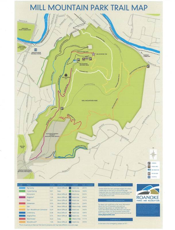
Roanoke Parks and Recreation Map.
​
Picture
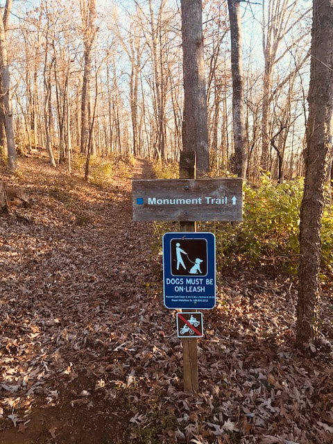
I decided to make my hike a loop by hiking the Monument, Star, Prospect Road, Understory, and Ridgeline Trails back to the automobile a little over 2 miles.  The trails are clearly marked with colored blazes.  A map is a necessity.  Dogs must be on a leash, and no motorized vehicles are allowed.  I left my auto in a parking area along the JB Fishburn Parkway.
Picture
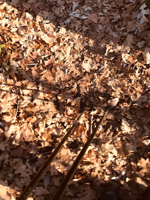
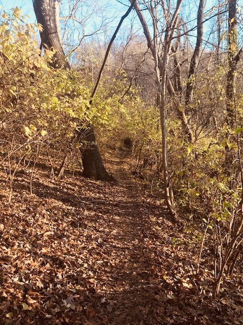
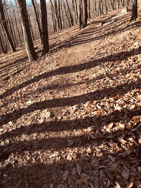
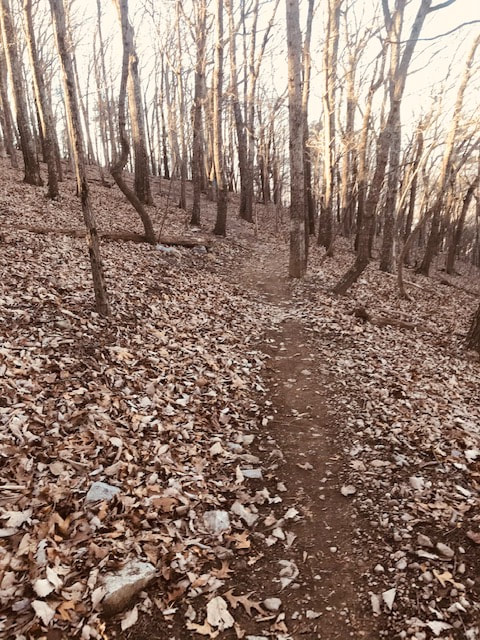
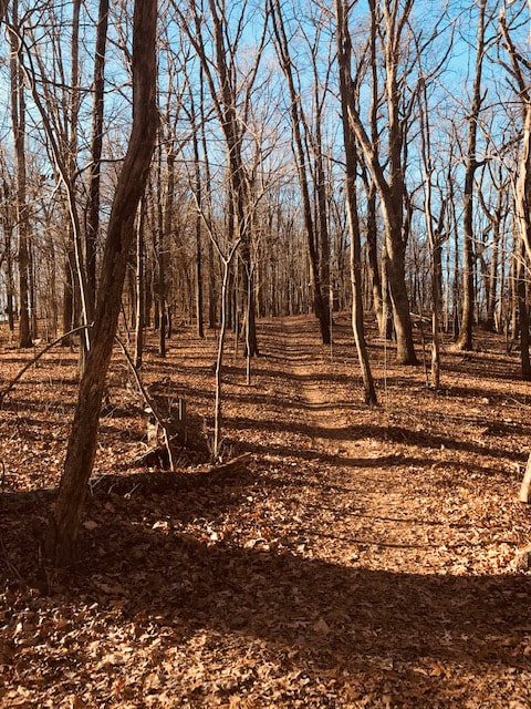
In the fall and winter hardwood tree leaves cover the trail.  

​
Picture
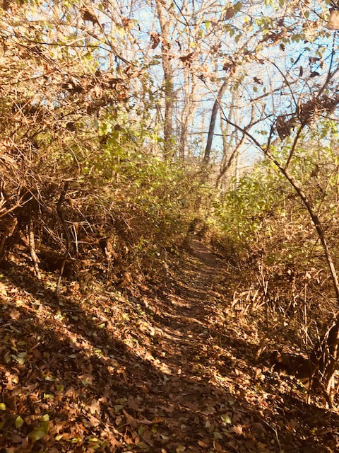
At one point on the trail there are tall curving shrubs towering overhead creating a tunnel affect.  Clouds during my early morning hike make it seem like a scary fogy scene from the story,  The Legend of Sleep Hollow.  

​
Picture
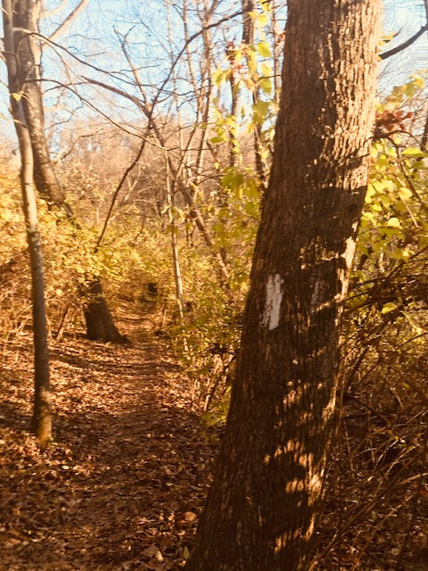
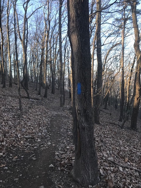
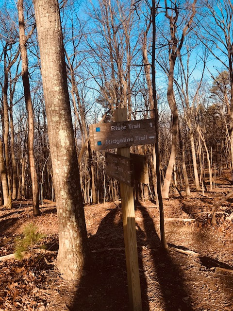
The Monument Trail is marked with a white blaze.  A blaze is typically a painted rectangle on a tree trunk 3 inches wide and 8 inches long approximately 8 feet from the ground.  The blaze is painted on both sides of the tree so a person can see them in both directions.  Often times I can see another blaze within eye sight of an existing blaze. 

​
Picture
Most of the trails meander through forested areas composed  of pine, sassafras, oak, maple, redbud, and locust trees.  Beneath the canopy of these towering trees there is an understory of mountain laurel and low bush blueberry and a floor carpeted in mosses and ferns.

​
Picture
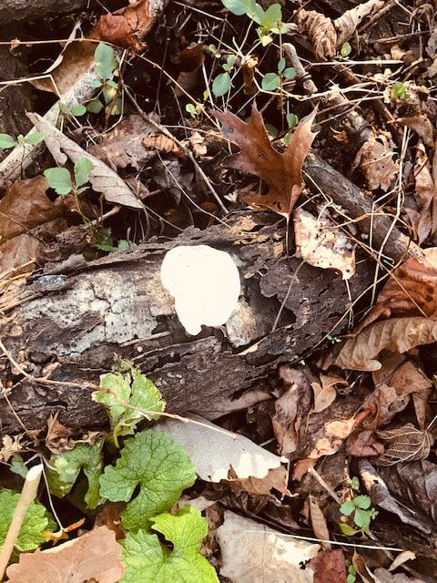
Mushrooms are still visible along the trail.  This time of year the squirrels collect the edible mushrooms and store them in their winter homes.

​
Picture
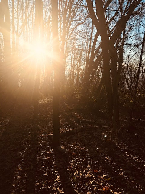
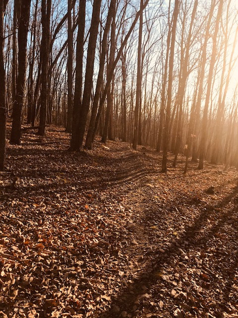
 I braved the cold of this winter mornings to see the sunrise streaming radiant light through the trees giving a halo affect.

​
Picture
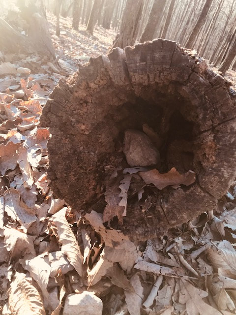
Ground animals like to spend their winters trying to stay warm in every possible hole they can find.  Squirrels, rabbits, chipmunks, opossums, and raccoons use hollowed-out logs for their winter home.

​
Picture
Because the Mill Mountain Trails are very popular the path is well worn.  If I did not see a trail blaze I could follow the worn path until I found a blaze.

​
Picture
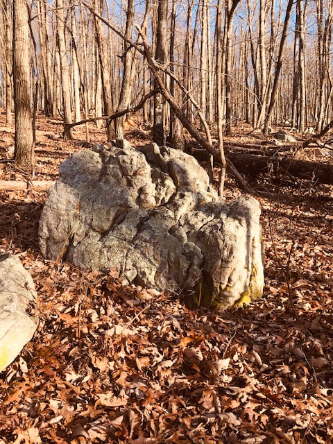
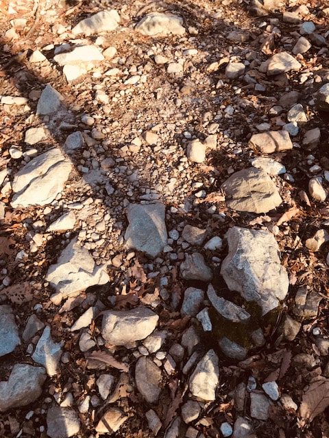
Sporatically along the trail there are large boulders made up of sedimentary rock.  These sedimentary rocks are a conglomerate of minerals such as quartz, feldspar, and calcite to form sandstone.  Limestones and shale are also found along the trail.  Erosion of the boulders produce smaller rocks, pebbles, and sand.  Sedimentary rocks on Mill Mountain are subject to wind, rain, and freezing/thawling erosion,  forming smaller particles easily washed down slopes.

​  
Picture
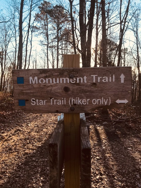
A left turn at this junction onto the Star Trail took me up to the Mill Mountain Star.

​
Picture
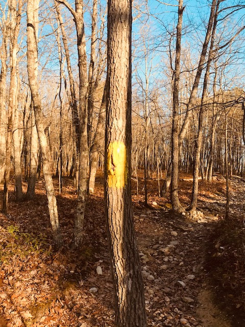
A yellow blaze marks the Star Trail.  The sharp, irregular rocks are too dangerous for bicyclists.

​
Picture
The Star and Watchtower Trails do not allow bicyclists because the sharp, fractured sandstones can cause unsafe riding conditions.

​
Picture
Halfway up the Star Trail  pine tree needles produce leaf litter making walking  the trail easier on the knees to hike.

​
Picture
Much of the trail consists of hard packed soil created from eroded sedimentary rocks.  These areas are called forest beaches from the large accumulation of sand grain sized particles.

​
Picture
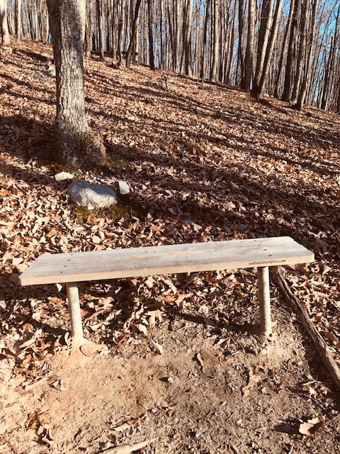
Occasionally, I  found a bench to rest upon and listened to the songs of the wood thrush, ovenbird, black and white warbler, as well as white and red-eyed vireos, and indigo bunting.  If I was lucky I sometimes heard a red-tailed hawk, woodpecker, and maybe a wild turkey. 

​
Picture
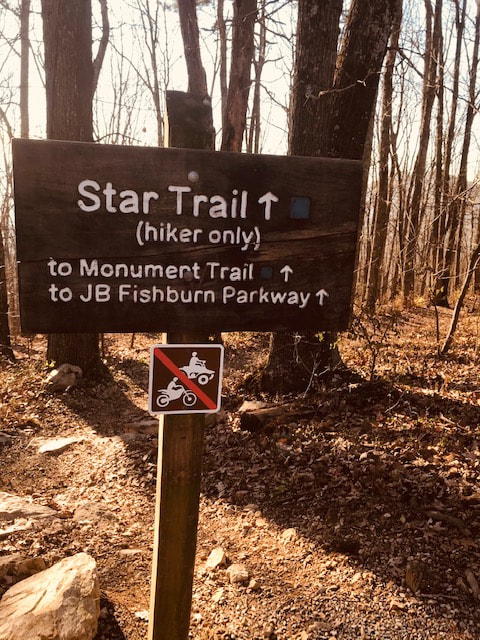
I turned around at the top of the Star Trail and saw this trail sign. It again reminds visitors that this trail is for hikers only and no motorcycles or four wheelers may use it.

​
Picture
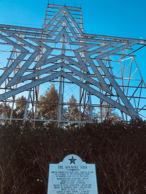
The 88.5 feet tall structure of the Mill Mountain Star was designed to withstand high winds and severe weather conditions.  It was preconstructed at a nearby airport before its final resting spot on top of the mountain.


Picture

​The Roanoke Star (Mill Mountain Star) was originally designed to be a seasonal Christmas decoration to shine over the city during the holiday shopping season in 1949.  The cost of the star was provided by the Roanoke Merchants Association and to be dismantled in 1950 after the holiday season.  The city liked it so much that it still stands on top of the mountain today.  The star is actually three 2,000 feet long neon lighted stars in one.  It weighs 10,000 pounds and sits 1,045 feet above the city. The star is 88.5 feet tall, supported by metal iron rails.


Picture
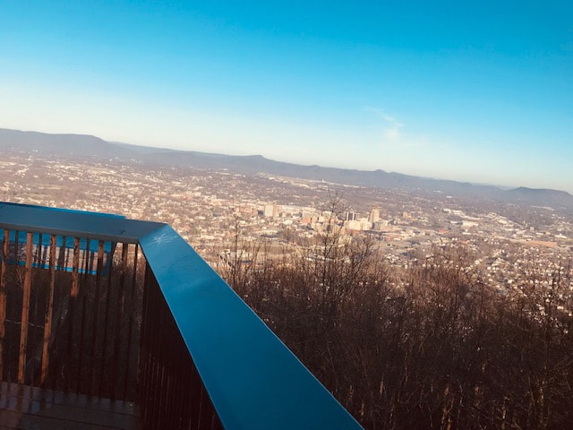
A view of Roanoke from an observation platform below the star.  There is also a video camera mounted on the star that films the platform.

​
Picture
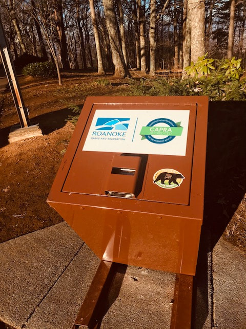
There are black bears in the area and bear proof trash cans along Prospect Road help keep them away.

​
Picture
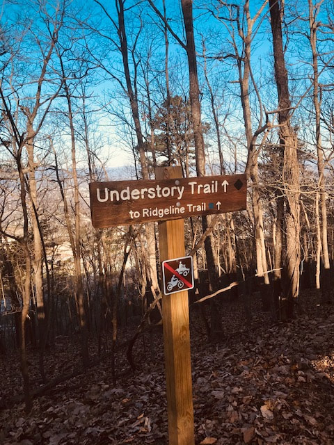
After a short hike on Prospect Road I made a left onto the Understory Trail.  Again there is a trail sign and also a reminder that motorized vehicles are not permitted.  

​
Picture
A royal blue blaze marks the Understory Trail.  The trail is well worn in this area not only from the human activity, but also from the large number of white tail deer, gray squirrel, and eastern chipmunk that frequent this side of the mountain.  I noticed numerous squirrels and four white tailed deer in this area.

​
Picture
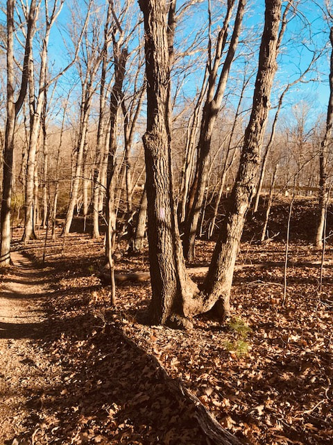
There are very few original forest trees.  This whole area must have been logged in the past.  The heavy winds have caused the immature trees to become twisted.

Picture
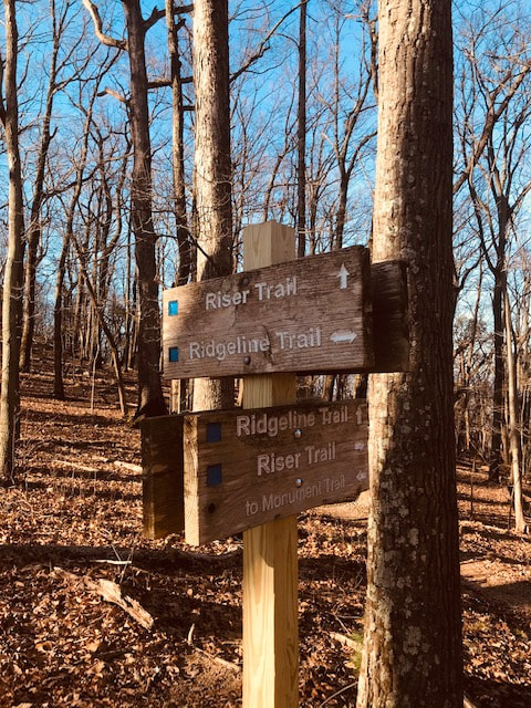
At this point I turned right onto the purple blazed Ridgeline Trail.  It was confusing because the trail goes north and then makes a sharp turn  to the south.

​
Picture
On my right the trail parallels the Mill Mountain Spur Road.

​
Picture
The last trail sign I saw directed me toward the parking area.

​
Picture
As I left the Ridgeline trail it continued south toward the Blue Ridge Parkway.  

​
Picture
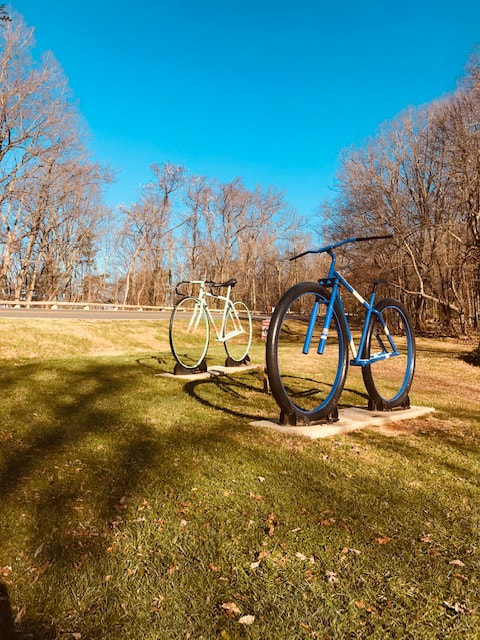
My hike ended at the bicycles sculptures on the Fishburn Parkway.

Isaiah 30:21-Whether you turn to the right or to the left, your ears will hear a voice behind you, saying  "This is the way; walk in it."

Share

2 Comments
Dave Olund link
12/18/2020 11:45:19 am

What a great way to gain the insight and experience of another who loves the outdoors. It inspires the reader to go there....and to grow from the knowledge of another who’s been there many times...

Reply
Terry Stephens
12/19/2020 07:04:11 pm

Great hike and pictures I will have to go up and hike it with you sometime. May God bless you I all your travels.

Reply


Leave a Reply.

Details

    Author

    Avid outdoorsman who enjoys hiking, biking, water sports, camping, and survival training. 

    Archives

    December 2020
    October 2019
    December 2018
    March 2018
    November 2017
    October 2017

    Categories

    All

    RSS Feed

© John Baranowski
  • Topic Overview
  • About
  • Contact
  • Backpacking/Hiking
  • Bicycling
  • Canoe/kayaking
  • Survival/Nature
  • Gear Review
  • Stories from the Trail