OUTDOORS INSPIRED

We witness sights very few may come to enjoy.

 There are walkers and
hikers, and then there are backpackers.  All of us like to get from place to place without any assisted power.  Many of us believe that God gave us legs to travel.


 Walking allows us to see and hear things that we would not normally experience by vehicle.   I have hiked the same trail hundreds of times, and each time I have noticed different things I had not seen before.  The seasons, time of day, weather, and plant and animal life, as well as the people you meet, all make the hike a new experience.
Come share with me my hike and experiences, as I backpack trails around the United States.
  • Topic Overview
  • About
  • Contact
  • Backpacking/Hiking
  • Bicycling
  • Canoe/kayaking
  • Survival/Nature
  • Gear Review
  • Stories from the Trail

11/17/2017

Presidential Ridge-New Hampshire

0 Comments

Read Now
 

Crawford Notch to The Mizpah Springs Hut

September 10,2017
Fall is one of the best times to hike in the White Mountains along the Appalachian Trail (AT) in the New England area.  There are fewer mosquitoes and black flies, and the temperatures are usually in the fifties and sixties, although it is a time for occasional rains and high winds.  For my trip my son-in-law and I flew into New Hampshire by way of the City of Manchester, because the city has one of the larger airports.  We rented a car and drove north two to three hours to the Town of Gorham, at the base of the White Mountains.  In Gorham we stayed at Joe Dodge Lodge, a rustic log cabin structure maintained by the Appalachian Mountain Club (AMC).  To start our hike the next day we hired a shuttle to take us to the AT crossing of Route 302.
The Appalachian Mountain Club maintains this section of the Appalachian Trail along the Presidential Range.  There are a number of Adirondack shelters that accommodate five to fourteen hikers along the trail.  There are also enclosed structures called AMC huts that sleep from thirty-six to ninety people  and are open early May through September.  The huts are full service providing a number of services to hikers.  A fee is charged for these services and reservations are required.  During our hike we opted to stay at the Mizpah Springs and Lakes of the Clouds Huts.
The Presidential Ridge is a twenty-six mile section of the White Mountains in the state of New Hampshire.  It is a rocky tundra-covered ridge known for it sudden  extreme weather.  The trail crosses wet, boggy areas along the range, high on the ridge, and in sags between the peaks.  Extensive log and plank walkways or bog bridges (puncheons) have been installed.  
Our hike started about 9AM at the AT crossing of Route 302, a little over 1,275 feet above sea level in elevation.  Our first day's hike was from Route 302 to Mizpah Springs Hut, a total of 6.7 miles.
As we began hiking  we noticed that the trail led through a dense hardwood and pine forest, much like any other part of the AT.   The smell of pines reminded me of walking through Christmas trees.  It did not take us long to notice how the trail rose sharply, and that the soft ground gave rise to the large rocks and boulders. The rocks along the trail were made of granite ranging in size from basketballs to  autos.  There were also coarse and fine grained granite rocks.  Most of these rocks were composed of quartz, feldspar, and mica.  Some of these same rocks had weathered, eroded, and then recombined to make sand and sedimentary rocks.  It was odd to see sand under our feet as we walked among all of the larger rocks.
Our first stop was the bridge crossing of the Saco River.  This river eventually flows into the neighboring state of Maine. We could see in the distance the peak of Mount Webster at an elevation of 3,025 feet above sea level. In a very short time we  climbed from 1,275 feet to 3,025 feet. 
Along our hike I had the opportunity to tell my son-in-law about some the plants we saw, like poison ivy and mountain ash.  
At the 3.3 mile marker we reached the top of Mount Webster named after Daniel Webster, an American statesman.  Not all of the mountains in the Presidential Range are named after presidents.
Picture

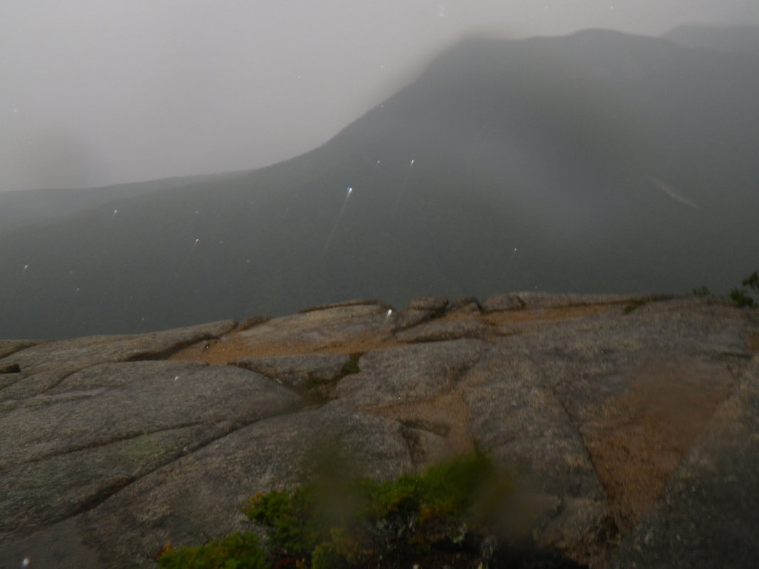
The weather changed quickly at the top of Mount Webster.  The day we hiked it was thirty-five degrees, about ten degrees cooler than at the trail head, and the winds  became stronger--around 35 MPH.  Clouds quickly rolled into the mountains creating a dense fog.
Picture

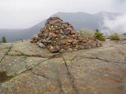
At the top above the treeline there are no trees and no way to mark the trail, therefore, large piles of rocks called cairns had been placed to mark the trail.
The next mountain we hiked along the trail was Mount Jackson at an elevation 4,052 feet above sea level.  The mountain was named after a New Hampshire state geologist.  Notice the large granite rocks along the trail, speckled with algae and lichen.  The trail from Route 302 went up steep slopes that were lined with large boulders, but as we got closer to the upper ridges, the rocks become smaller--about the size of basketballs.  These smaller rocks make hiking very slow, with the possibility of twisting or breaking an ankle or leg.  

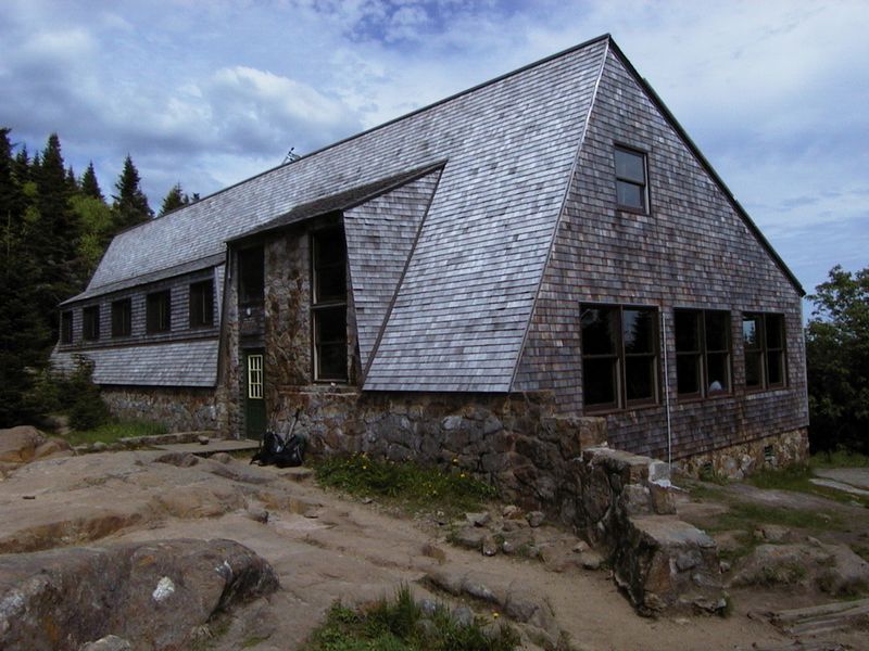
The Mizpah Springs Hut is 6.7 miles from Route 302.  Mizpah means pillar of wilderness.  The hut is a solar powered cabin maintained by AMC for hikers. For a fee, AMC provides breakfast, dinner, water, food and supplies, composting toilets, some light entertainment, as well as a bunk bed with three blankets. There is no heat in the cabin, and hikers must carry out all their trash.  A member of the hut staff woke us up early in the morning by playing the guitar and singing "Look at Miss Ohio."  The staff also provided a short skit about how to be a trail and hut steward.
Picture
The next day's hike along the ridge line was approximately 4.8 miles to the Lakes of the Clouds Hut   It was cold and foggy, making it hard to find the trail. The only trail markers were the piles of rocks that look like small pyramids. This day's hike took us past Mount Pierce at 4,312 feet above sea level.  The mountain was named after our fourteenth president of the United States.   Franklin Pierce served from 1853-1857.  We also passed by Mount Eisenhower, an elevation of 4,671 feet above sea level. The mountain was named after president Dwight D. Eisenhower, the thirty-fourth president of the United States.  

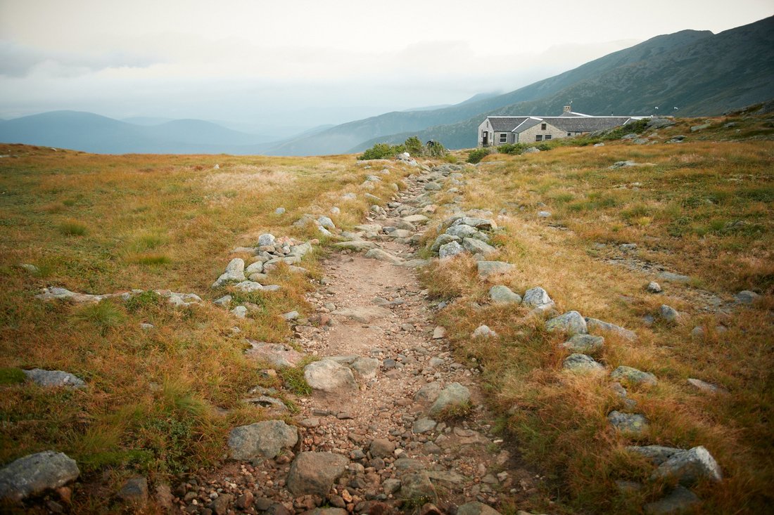
The next peak, Mount Franklin, was named after Benjamin Franklin at 5,001 feet above sea level.  Our last mountain before the hut was Mount Monroe named after the fifth president of the United States at 5,372 feet in elevation.  There were many wet bog areas along the high ridge range and in sags between the peaks.  Extensive log and plank walkways or bog bridges called puncheons had been installed.  If you step off of the walkways you will sink up to your knees in muck.  

The day ended at the Lakes in the Clouds Hut, the highest hut on the Presidential Range.  Behind the hut there was a series of small ponds.  It was hard to find the trail the next morning because of the dense fog.  There was no heat in the hut, and the next morning we were awakened again by the same song about Miss Ohio.  The  food in the huts was served family style, and it was very tasty.
Picture
The one-mile trail up to the top of Mount Washington was very steep and covered with large stones.  The cairns that marked the trail were hard to find in the fog .  Occasionally we could see a large white quartz rock placed at the top of the cairn to help keep us on the trail.  Along parts of the trail there were grassy areas of tundra vegetation.  The AMC strongly discouraged walking on this unique vegetation.  The winds increased to around sixty MPH.  

Mount Washington is known for its unpredictable weather conditions.  It has been known to snow during all times of the year, and a wind of 231 MPH was recorded--the largest wind on land in the United States.   Mount Washington is the highest peak north of North Carolina on the AT.  There are many side trails leading up to the top of Mount Washington.  Tuckerman Ridge is one of the most popular.  There are two other ways to ascend Mount Washington.  The Cog Railway shuttles people from the base of the mountain to the top by way of a narrow gauge steam locomotive.  The world's first mountain climbing rairoad was built in 1869.  There is also an eight-mile-long Auto Tool Road that allows people to drive to the top of the mountain by way of a paved road. Hikers who do not plan to hike up or down the mountain may pay to take a shuttle.   On top of Mount Washington at 6,288 elevation there is a weather observatory, snack bar, bathrooms, FM radio station, telephone, and a post office.
Picture
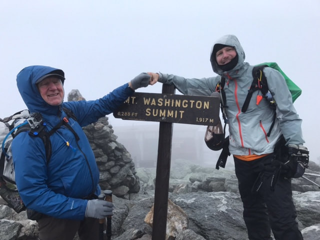
,We ended our hike at the summit of Mount Washington, where it was very foggy, windy, and cold.

Share

0 Comments


Leave a Reply.

Details

    Author

    Avid outdoorsman who enjoys hiking, biking, water sports, camping, and survival training. 

    Archives

    June 2024
    May 2024
    December 2021
    December 2020
    October 2019
    December 2018
    March 2018
    November 2017
    October 2017

    Categories

    All

    RSS Feed

© John Baranowski
  • Topic Overview
  • About
  • Contact
  • Backpacking/Hiking
  • Bicycling
  • Canoe/kayaking
  • Survival/Nature
  • Gear Review
  • Stories from the Trail