OUTDOORS INSPIRED

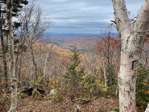
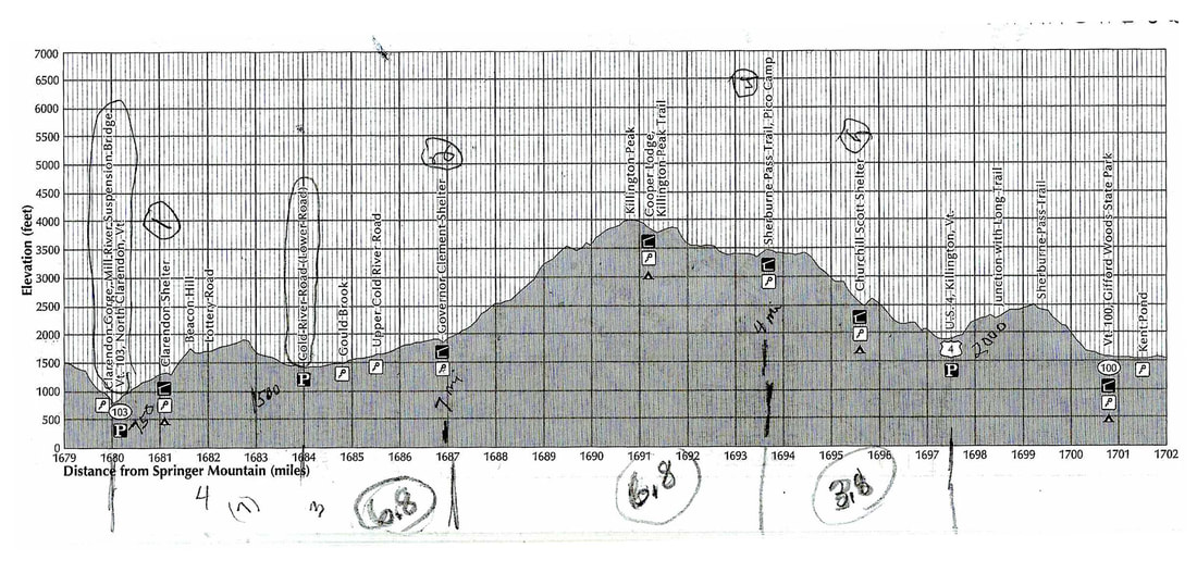
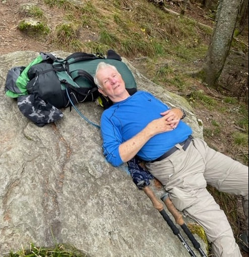
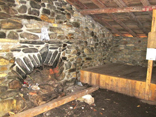
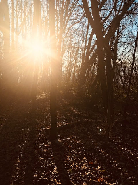
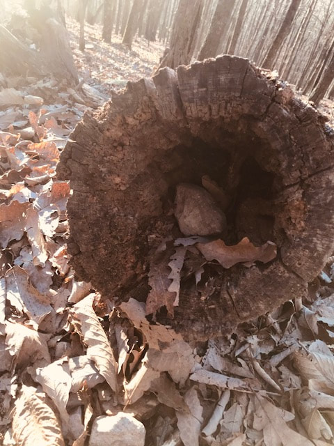
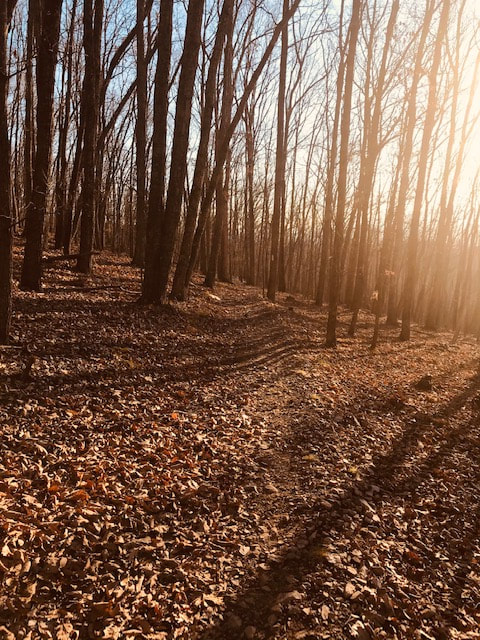
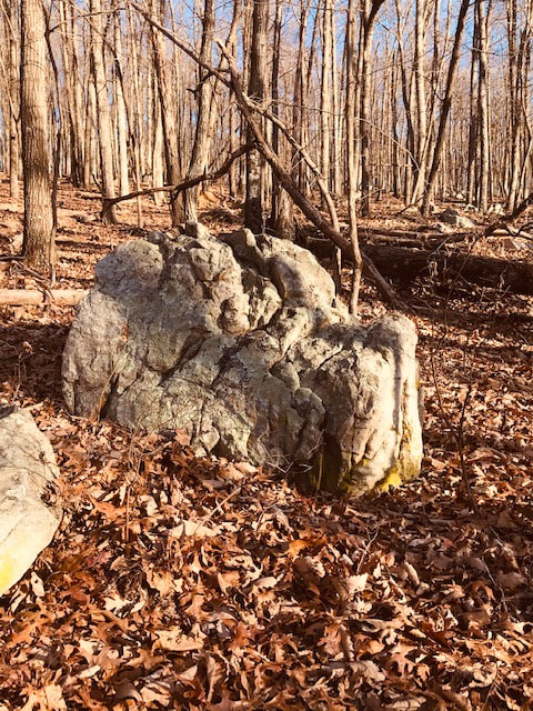
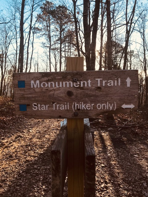
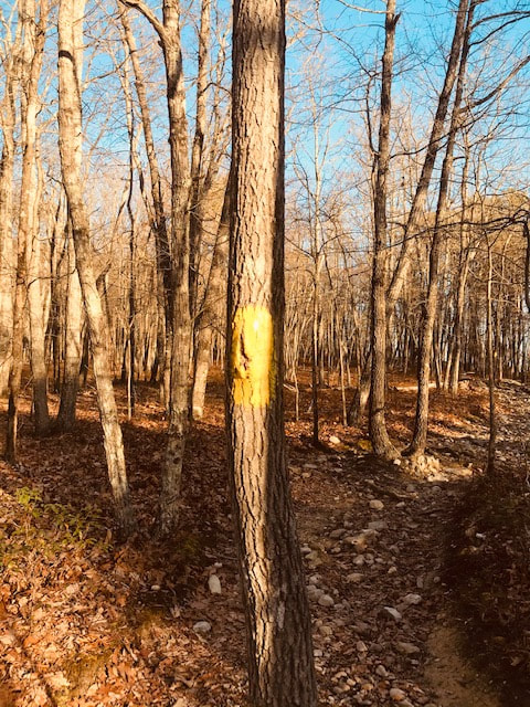
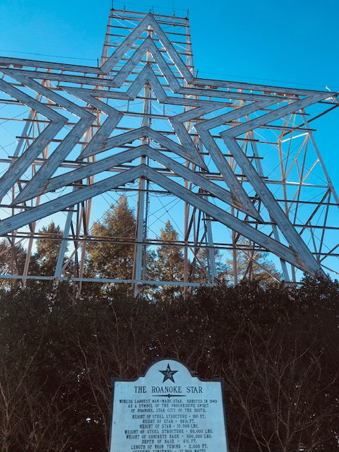
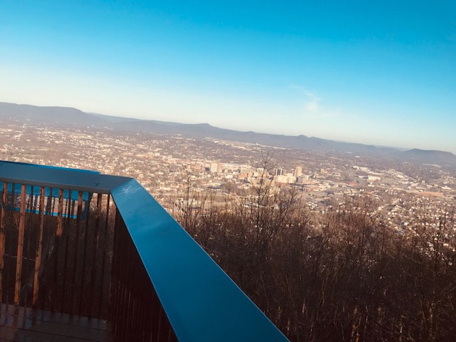
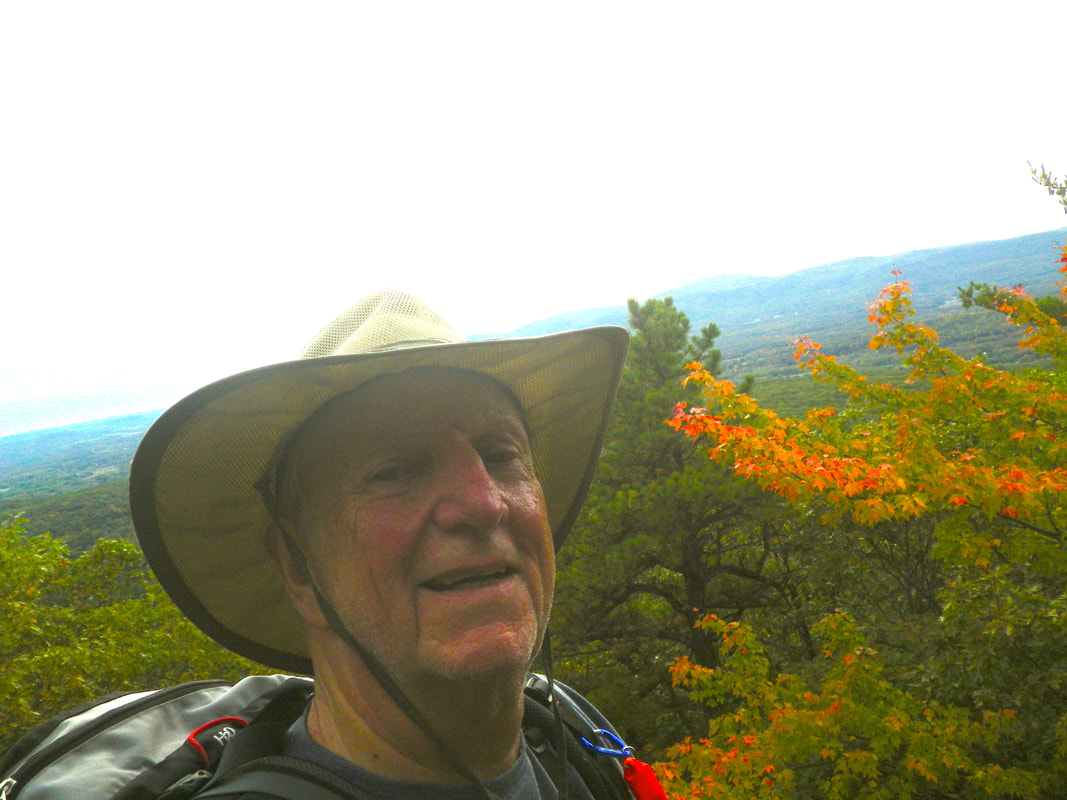
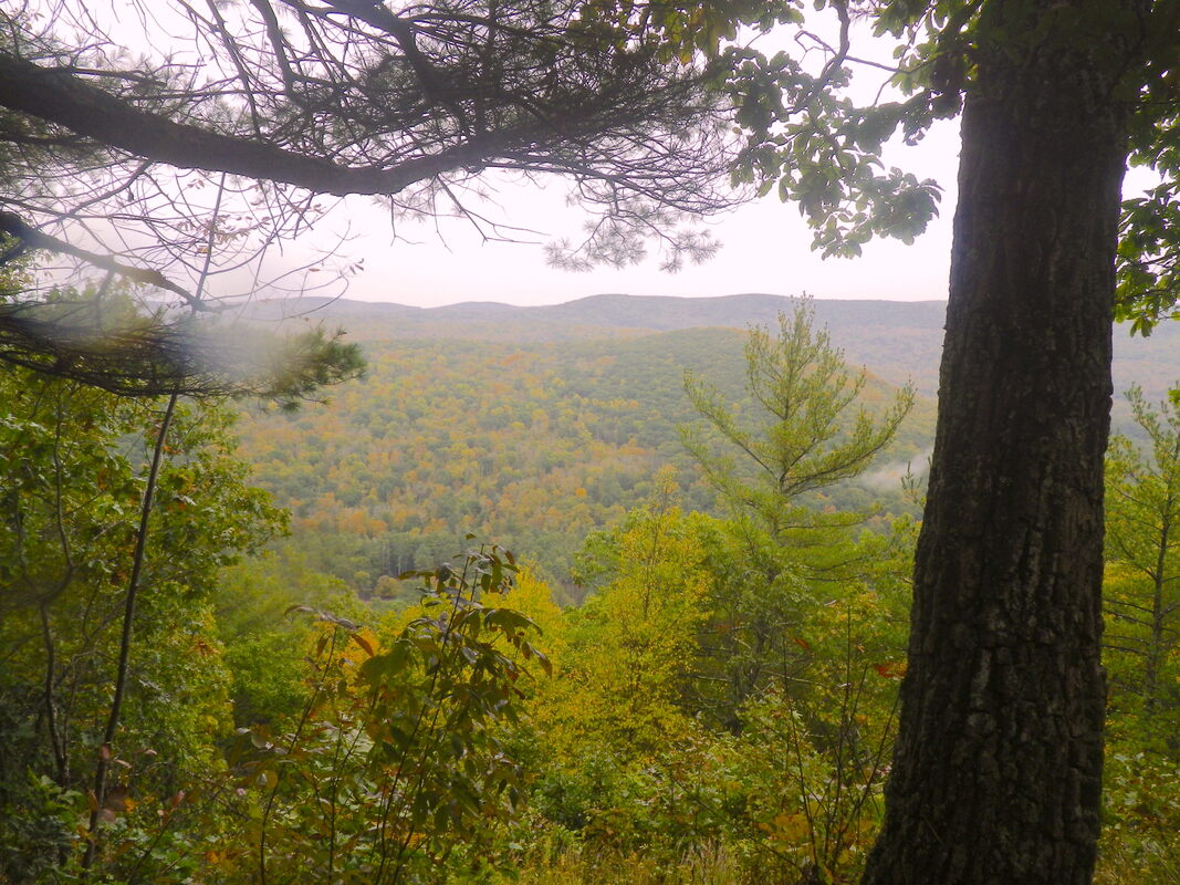
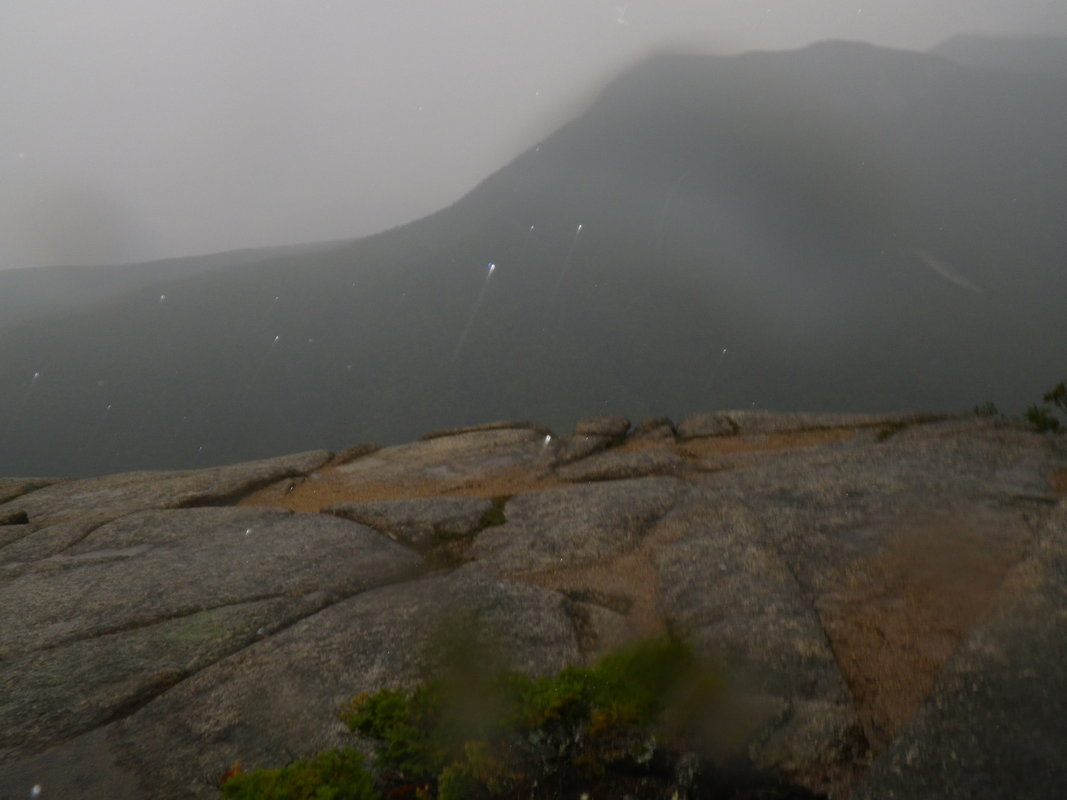
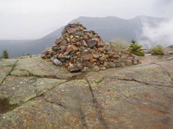
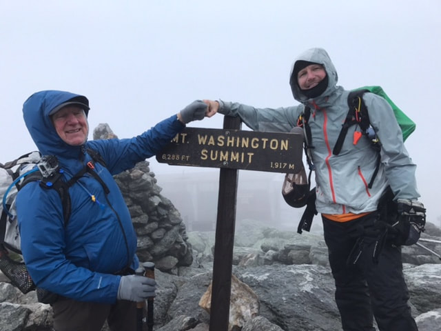
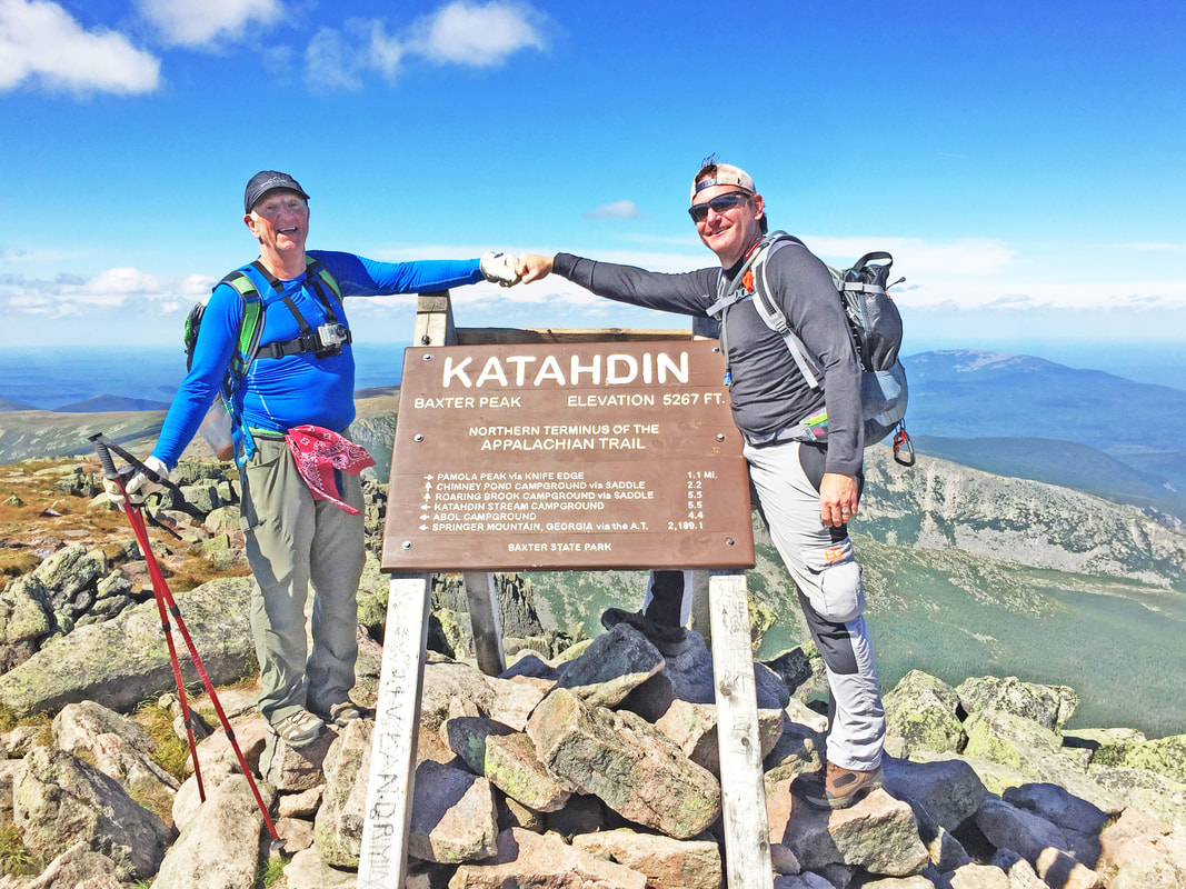
We witness sights very few may come to enjoy.

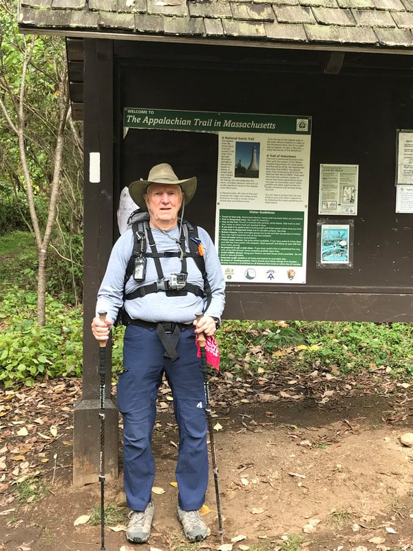
 There are walkers and
hikers, and then there are backpackers.  All of us like to get from place to place without any assisted power.  Many of us believe that God gave us legs to travel.


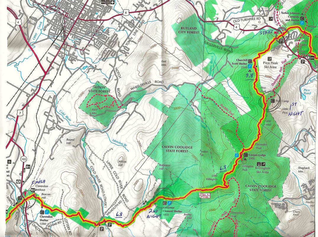
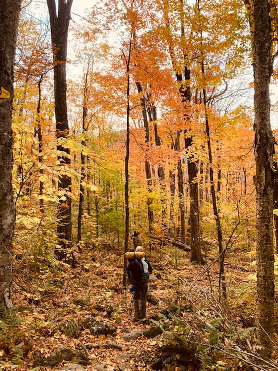
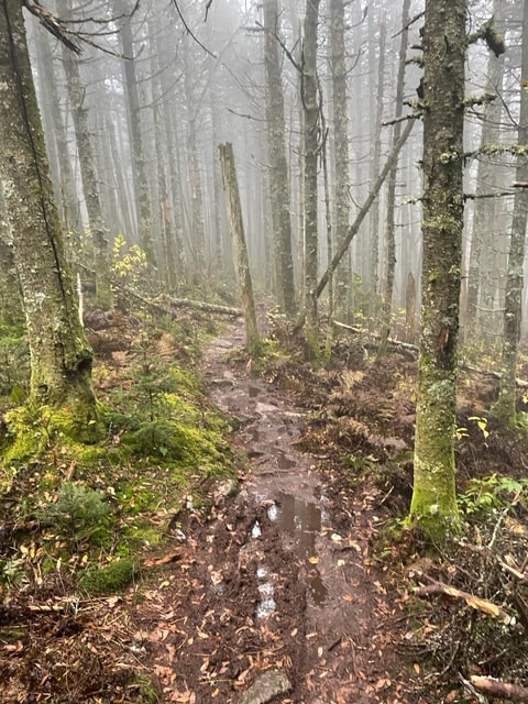
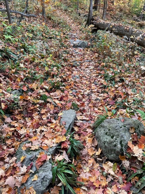
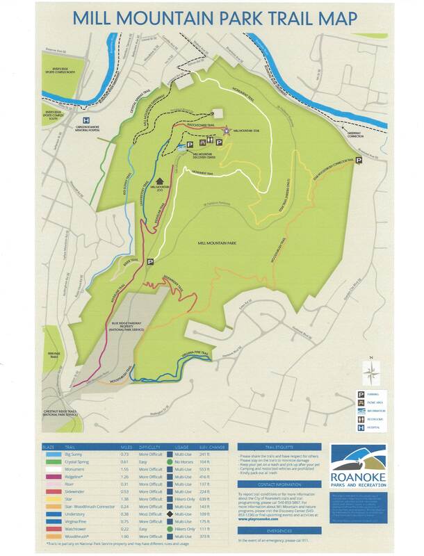
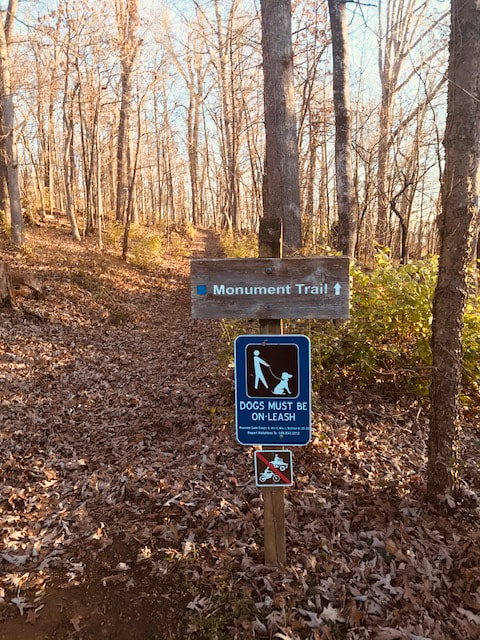
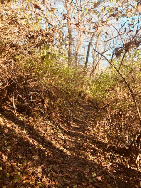
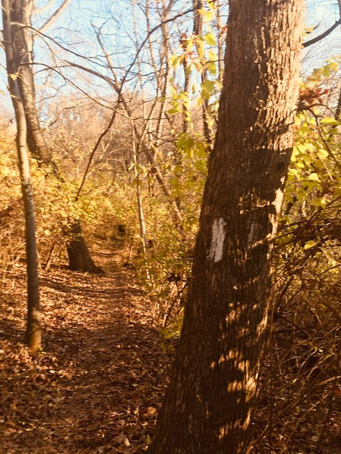
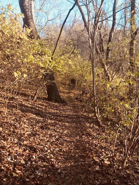
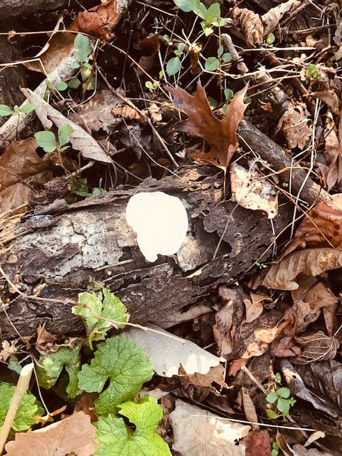
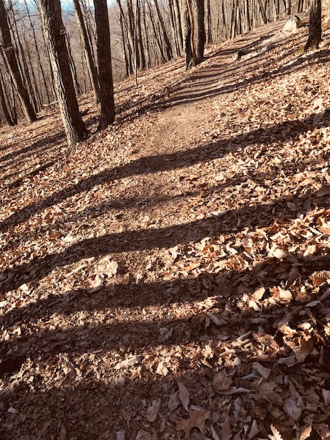
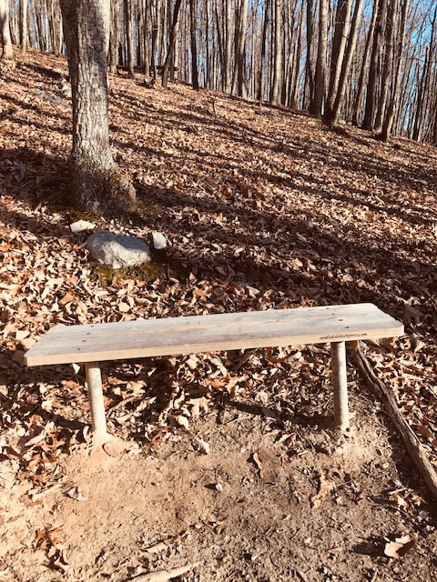
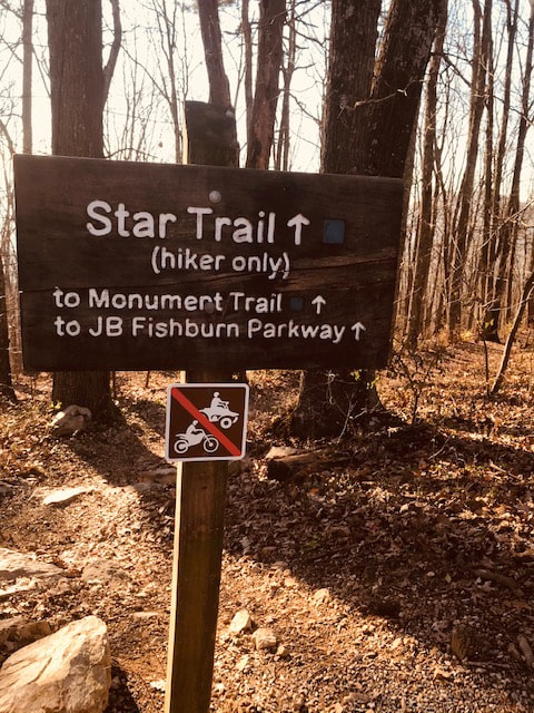
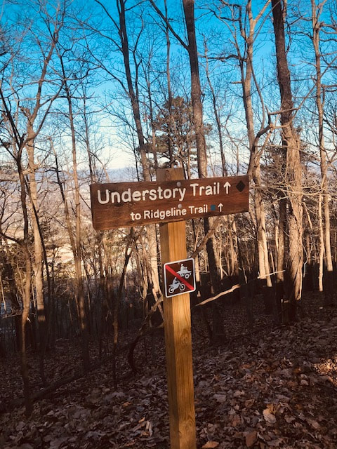
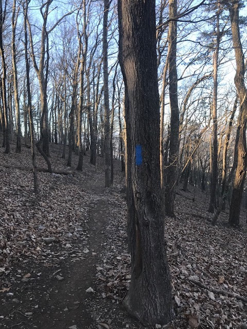
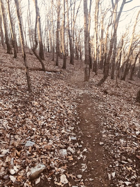
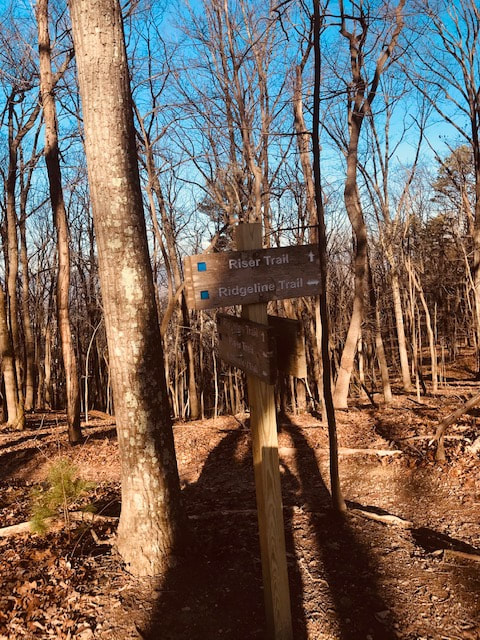
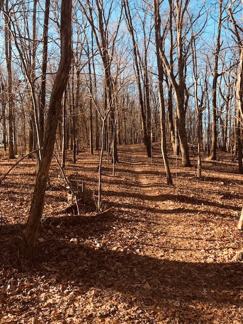
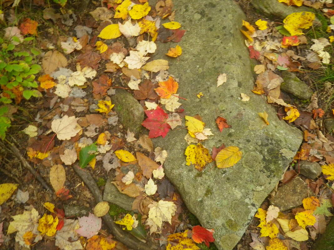
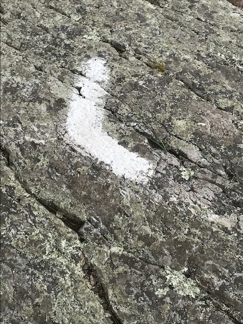
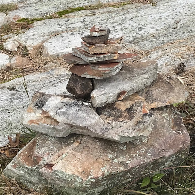
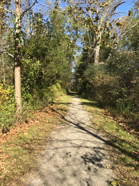
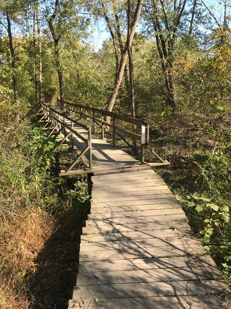
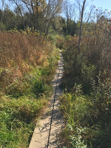
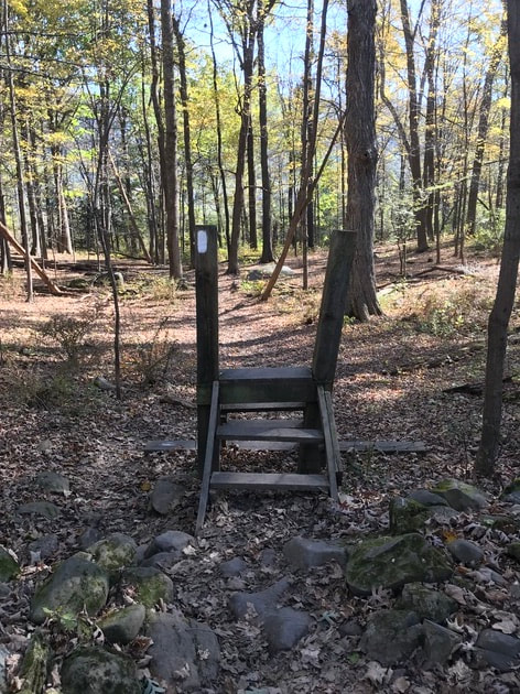
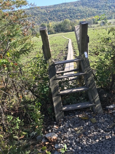
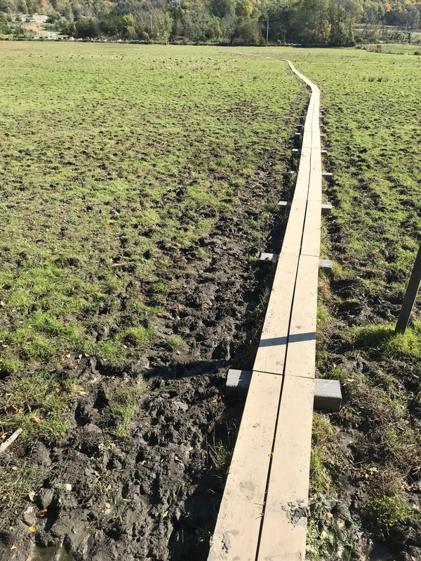
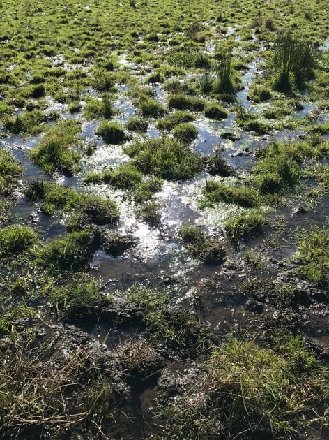
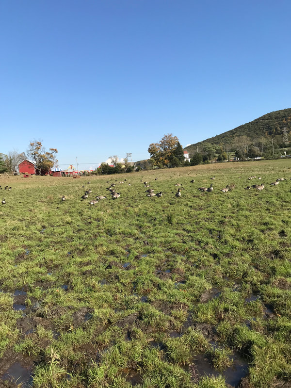
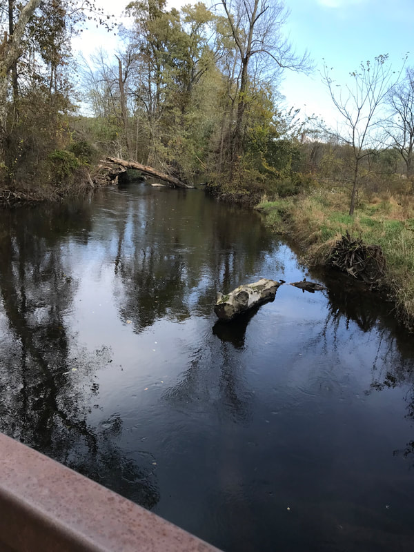
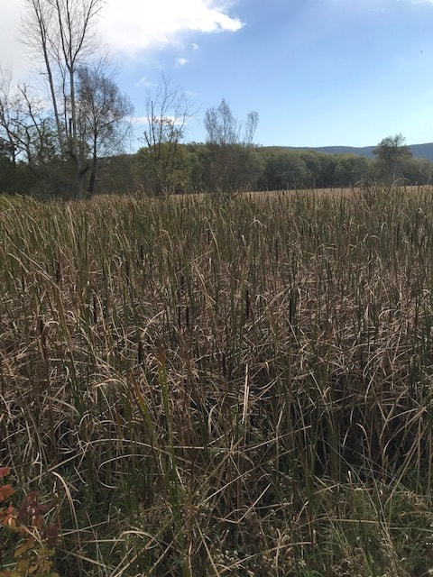
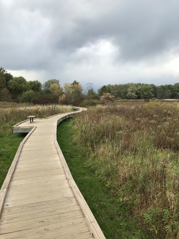
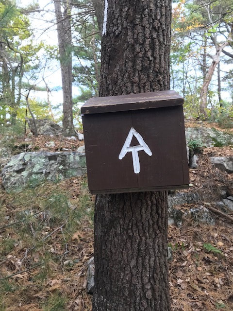
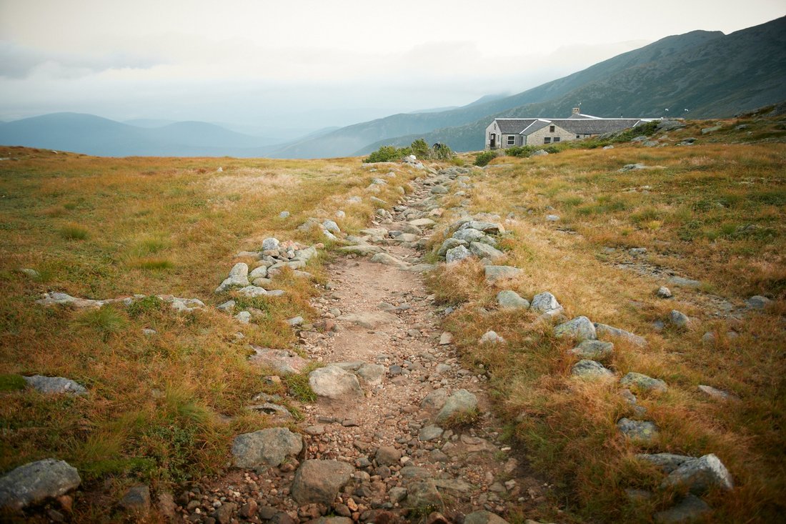
 Walking allows us to see and hear things that we would not normally experience by vehicle.   I have hiked the same trail hundreds of times, and each time I have noticed different things I had not seen before.  The seasons, time of day, weather, and plant and animal life, as well as the people you meet, all make the hike a new experience.
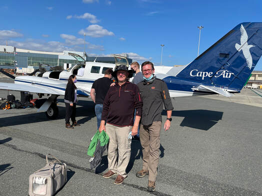
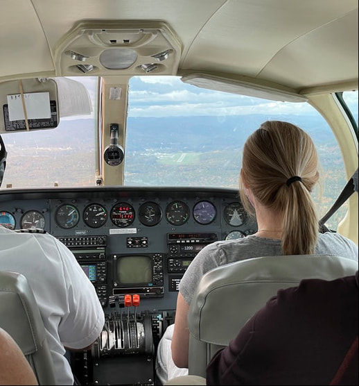
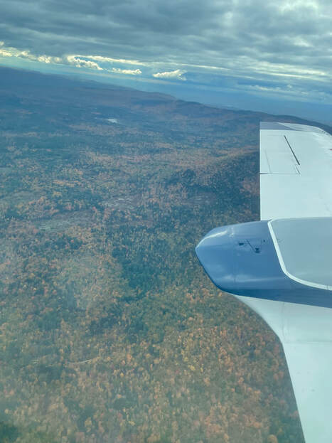
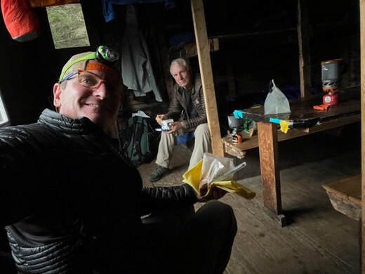
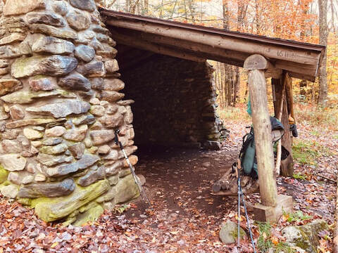
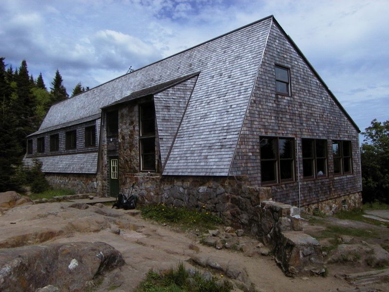
Come share with me my hike and experiences, as I backpack trails around the United States.
  • Topic Overview
  • About
  • Contact
  • Backpacking/Hiking
  • Bicycling
  • Canoe/kayaking
  • Survival/Nature
  • Gear Review
  • Stories from the Trail

6/3/2024

First Aid along the trail

0 Comments

Read Now
 
WHAT I BRING WITH ME FOR FIRST AID

When hiking do I think I need to bring a first aid kit? To save weight many ultralight backpackers and some day hikers do not carry first aid kits.  

In the past 20 years hiking 10,000+ miles I have not carried a formal first aid kit.  This is only my opinion and its never meant as an overall guideline for trail hikers. In that amount of time I have only seen a few hikers that have needed first aid.  But since the covid-19 virus there have been a lot more people hiking the trails and the demand for help has increased.  Not necessarily for me but for other hikers.  Not long ago I saw an elderly woman sitting on the side of the trail wrapping ace bandages around her ankles to her hips.  I stopped and talked to her for a while and she assured me she did not need any help.  Most of the problems I have seen are blisters, bee stings, scrapes, sprains, bruises, and dehydration.  Long distance hikers carry lots of ibuprofen for pain, which they call vitamin I.  Knees, ankles and hips will sooner or later ache at some time during the hike.  Aching joints usually come from long days of hiking 20 to 25 miles a day up and down mountains.
Ultralight hikers try to get by with the lightest gear possible many times at the expense of doing away with comfort and safety.  Lately I have seen more sprained ankles, blisters, and dehydration on the trail. You carry what you think is appropriate for your hike and do not worry about the extra weight. Be safe than sorry!

At a minimum this is what I carry on the trail 

Whistle - At times you can hear a whistle in the woods up to ten miles
Band Aids - Scrapes, blisters and some insect bites
Mole Skin - Blisters
Ace Bandage - Sprains, strains, broken bones
Antiseptic - Cuts and scrapes - Usually wipes
Tape - Cloth tape for larger cuts - Usually 2 inch small roll
Gauze - Larger cuts - usually 2 inch - Single roll
Pain Pills - Aspirin, Advil, Ibuprofen
Antihistamines - Benadryl - Take for minor allergies - Rub or pills
Butterfly Closure Strips - Close wounds
Tweezers - Remove ticks and splinters
Hand Sanitizer - Sterilize hands
Safety Pins - Take out splinters, hold sling
Emergency Contact Information - Who should be contacted for an emergency
Small Knife or Scissors - Cutting emergencies

Extra Items I carry sometimes

Epipens - Severe allergies such as bee stings and some types of  allergies
Medications - Prescribed medicines
Insect Spray - Tick and mosquito repellent 
CPR Mask - For easier CPR
Space Blanket - For emergency over night shelter
Antacids - TUMS - Upset stomach
Cotton Balls or Swabs - Sterilize wounds 
Plastic Bags - Carry water, used to help keep wounds sterile
Duct Tape - Create a very tight hold
Cell or Satellite Phone - To call for help

In my opinion I make it a point never to help a person in trouble unless I have their permission and I also never help them unless it is a life saving situation and professional care is not available in a reasonable time. 

Psalm 89:15 - Blessed are those who have to acclaim you, who walk in the light of your presence, O Lord.

Share

0 Comments

6/3/2024

PEOPLE YOU MEET ALONG THe TRAIL

0 Comments

Read Now
 
PEOPLE YOU MEET ALONG THE TRAIL

     I enjoy talking to hikers along the trail.  Most hikers weather day, section, or thru-hikers want to get to the end of the hiking day without delay.  I, on the other hand, like to stop and talk to other hikers along the trail.  I also like to take side trails to waterfalls,  old cemeteries, overlooks, copper mines, or caves.  I know that I may not in my lifetime ever have the opportunity to take that hike again, and I will have missed the chance to see a highlight of the trail.


PEOPLE ADVENTURES

     I grew up on a fifteen acre farm in Northern Virginia.  That does not sound like much outdoor space to explore, but it was located in the middle of two hundred acre farms. So essentially I had a two hundred and fifteen acres of outdoor play area.  I always carried a small army pack with lunch and a 410/22 shot gun.  I never killed many wild animals because I considered all of them my friends.  
     I joined the Boy Scouts when I was ten years old, and going on camping trips gave me more opportunities to explore.   It was 1955, and as a requirement for the hiking merit badge I had to complete a fifty mile hike within seven days.  Five of us decided to hike the Appalachian Trail from Front Royal,Virginia to Swift Run Gap,Virginia a little over fifty miles.  All of my hiking gear I carried consisted of gear that had been used by Army men in WWII.  My total weight was around sixty pounds.
CELEBRITY ALONG THE TRAIL

     We hiked about twenty-five miles before we stopped at an Adirondack shelter for the night.  The shelter was a three-sided building with a roof.  There was enough space for six hikers to sleep on three double decker bunk beds.  The bunk beds had metal spring mats to sleep on.  We all settled down for the night.
     As we were settling down an older women came into the shelter to sleep.  She looked like somebody’s grandmother who had wandered lost into the the woods.  She gathered us around the campfire and told us her story.
     She told us, her name was Grandma Emma Rowena Gatewood. She had fifteen children, and that her husband, who she divorced in 1940, had made her burn tobacco fields, build fences, and mix concrete to care for their children.  The children had to sleep four to a bed in an Ohio log cabin.  When her husband was drunk he beat her, and later after the children grew up she moved out.
     She was on her second thru-hike of the entire  2,160 mile Appalachian Trail.  She did not carry a tent or a sleeping bag.  She curled up to sleep on the bare metal springs with a shower curtain blanket and used her nap sack for a pillow.  Grandma let it be known that she carried a thirty-eight caliber hand gun, just for emergencies.  She was the first women to complete the entire Appalachian Trail at the age of sixty-two. It eventually took her 146 days and 5 million steps to complete the trail.  She wore out seven pairs of Keds tennis shoes and hiked an average of fourteen miles a day with her twelve pound pack.
     Grandma loved Vienna Sausages and chewed on wild onions. She stopped at many scheduled houses along the trail for home cooked meals. She completed the entire trail in 1955 at age 67 and again in 1960 and with a section hike of the entire trail in 1963. She was 86 years old when she died.
     She impressed us because she never complained and she walked faster than any of us.  She may have finished her hike before we finished our fifty miles.
Words of wisdom
Life is short
     Death is sure
Seen the curse
    Christ is the cure

Share

0 Comments

5/2/2024

boy scout adventures

0 Comments

Read Now
 

Boy scout beginnings

It was in the early 1950’s, a great time to be eleven and a member of the Boy Scouts of America.  My two older brothers had preceded me and since then had moved on to the Explorer Scouts.   Every year my troop had many camping trips and jamborees.  I tried hard to attend each event.  I had to be inventive in obtaining my camping gear.  At this same time my family was buying a small farm in northern Virginia and therefore we had very little extra money to buy camping gear.  I obtained much of my camping equipment from purchasing used military gear left over from WWII from Army and Navy stores. The A&N stores became my favorite place to shop. God only knew who had lived or died using this equipment or even if their ghost was still lingering in it.


My prized backpack consisted of a WWII vintage external wood frame canvas bag.  The pack alone weighed about ten pounds empty.  These packs were not made for comfort and only had thin shoulder straps and no hip belt.  On many long hikes it was not unusual to have multiple blisters form along the strap edges of my shoulders.  My canvas tent was made up of two WWII shelter halves  joined at the center by metal buttons and no floor.  I had to use the daily newspaper for my tent floor and ground cover, which worked great until it rained and then it acted like a sponge.  I spent many cold rainy nights when the newspapers did little to take away the cold dampness of the ground.  Because most of the hiking freeze dried or dehydrated foods on the market were expensive, most of us had to carry the heavier canned foods.  A typical pack weight for a fourteen day backpacking trip was about fifty eight pounds.  I considered that heavy even for a young strong boy.


My Boy Scout troop was very active and every year we went on several long backpacking trips. It was not unusual for several of us to plan our own week long backpacking adventure. One such trip I remember was when five of us decided to earn our Tote-N-Chip award by fulfilling the requirements by hiking fifty miles in one week. We hade to plan the trip solely by ourselves and carry all of our food and equipment we needed for the hike. We planned to hike along the Appalalchain Trail from Front Royal to Swift Run Gap a total of fifty plus miles.  Our food consisted of ready to eat C or K rations left over from WWII or from meals in cans bought from the grocery store. 


To start the hike there were five brave young boys ready for a big adventure along the Appalachian Trail in Virginia. There was myself, a self made survivalist, the scout masters son, who wanted to do everything by the book, the troop nerd, who of course knew everything, a handicapped boy, that lagged behind everyone by fifty yards, and the troop cry baby, that constantly complained about everything. At times it was a real challenge hiking with so many boys with different personalities.


There were many exciting things that happened along the hike. We had each days hike planned so we could hike from trail shelter to trail shelter, a total of about fifteen miles. One day were walked too slow and did not make it to the next shelter. That night we had to sleep in our sleeping bags along the trail. We were so amazed when we woke up the next morning because white tailed deer were grazing on the grass around our sleeping bags. It was such a gift from God to wake up and see wildlife so close up and personal. Another night we shared our shelter with a sixty year old woman named Grandma Gatewood who was on her second thru hike of the entire 2,160 miles of the Appalachian Trail. She had a very colorful story about her hiking experiences. She carried a cloth feed sack for a pack and only stopped at selected houses along the way for food. She slept in our shelter on the floor with no mattress. She also made it very clear that she carried a thirty eight caliber pistol for protection. In the morning we said our goodbyes as she left going north and we were going south.


I thought our backpack journey was a great experience. We learned how to hike along the Appalachian Trail by following the white blaze markings and to be responsible for carrying all of our own food, shelter, and other provisions to live along the Trail.
​

Share

0 Comments

12/30/2021

Vermont Appalachian Trail

4 Comments

Read Now
 

Killington Ridge Appalachian Tral                        Vermont

     During the entire process of planning, conducting, and completing the Vermont section of the Appalachian Trail there were many doors closed and miraculously reopened again.  The scheduling of flights, security checks, equipment problems, rainy weather, dangerous trails, high waters, no rental cars, no bear spray, no cell coverage, and many closed restaurants and businesses were some we experienced.  Every time we had a problem God was there to make it right again.  There was no other explanation for completion of this hike.

1 Peter 5:6-7,  "Therefore humble yourselves under the mighty hand of God, that he may exhalt you in due time, casting all your care upon Him, for He cares for you."
Picture
A view from Killington Ridge on the Appalachian Trail part of the Green Mountains of Vermont.
The Plan
      I finished section hiking the Appalachian Trail in October, 2021.  It was  a long awaited adventure, my son-in-law Rob, and I had been planning it for three years.  Because of the COVID virus outbreak and other obligations, 2021 was the year.  In the previous year we had made all the arrangements - scheduling flights, motels, and, shuttles for the trip.  But 2021 was the year it was going to finally occur.   We planned to fly to Lebanon, New Hampshire, from Roanoke, Virginia, rent a car, drive to Rutland, Vermont, and begin the hike. 
       The Appalachian Trail (AT) in Vermont is also known as The Long Trail and was the last section of the entire 2,180 miles I had not completed.  
     Our original flight schedule was to fly from Roanoke, Virginia, to Charlotte, North Carolina, and then to Boston, Massachusetts, and finally to Lebanon, New Hampshire.  
There are no large airports in Lebanon and we planned to rent a car and drive the last twenty miles to Rutland, Vermont, for the beginning of our hike.    Our return schedule was the reverse of this process. The first flight from Roanoke was scheduled to depart at 9:30 AM, and there were only short layovers between flights. 
      We shipped our food and some of our other equipment, 
such as stoves and trekking poles.  The equipment such as cooking fuel and bear spray were not allowed on the plane.  These items would be purchased the day before the hike in Rutland.  It was critical that we remained in close contact with our backpacking gear.  Everything was planned to the smallest detail.  

The Travel

     The day before departure we were sent an email from the airlines telling us that all of the flight departure times had been changed due to COVID and pilot shortages.  The flight from Roanoke was now departing at 6:19 AM to Philadelphia, Pennsylvania, with a five hour layover and then to Boston, Massachusetts, with another five hour layover before leaving for Lebanon, New Hampshire.  There were no rental cars available in Lebanon.
Picture
While inside the airports we had to wear masks.
Picture
We successfully flew to Philadelphia, Pennsylvania, while wearing our masks.
Picture
     I enjoyed eating a snack between flights in the Admiral's Club.  ​My son-in-law travels a lot, so he became a member of the Admiral's Travel Club.  
    As part of the club’s benefit's the airport makes available a separate lounging area to  provide a  little extra comfort. ​Free Wi-Fi, food, and, relaxation are provided.  We ate breakfast at the club and five hours later caught the flight to Boston on time. 
Picture
       The next flight to Lebanon was by Cape Air in a small plane. In order to board the plane we had to catch a shuttle bus outside of the airport to the farthest part of the airport.   We boarded the shuttle bus and rode to the small plane terminal.  We did not realize we had to recheck all of our luggage and go through security again.  After doing that we had only fifteen minutes to go through a security line of about fifty people. 
      There was no way we were going to make the flight.  A miracle occurred just after we moved only a few feet. Airport security opened a second security check point lane just in front of us, and we were the first ones in line.  We zoomed through the line and did a mad quarterback scramble to the gate where the plane was sitting.   But no one was boarding it, as the plane had been slightly delayed.  
​      Shortly afterward we were lead down steps and out to the tarmac where a really small two engine plane was parked. The pilot explained that we had a full flight with six passengers. We boarded the plane and we took off right behind a 727 jet liner.
Picture
     ​The plane flew at an elevation less that 4,000 feet all the way to Lebanon.  Many of the hiking trails along the mountains are only slightly more than 4,000 feet tall.  We flew so close to the ground that I felt that if I tried hard enough I could see the expressions on people's faces who were walking below. The plane vibrated so much that it gave new meaning to the words shake, rattle and roll.  
Picture
 A view from the wings trailing edge of the plane.  We never flew above the clouds.


Auto Rental 

     We arrived in Lebanon not knowing how we were going to go the remaining twenty miles to Rutland.  Again another miracle occurred, and a rental car had just been turned in from Canada to rent. 
 
Equipment Pick UP

     We picked up the hiking equipment that we had shipped, and Rob rented the car.   We had no luck finding many of the supplies we planned to purchase in Rutland.  Several of the items we could do without, but Vermont is known for it’s large black bear population, so we really wanted to purchase bear spray for protection.  No bear spray was available because most of the outdoor hiking and camping stores were out of business. We had to rely on keeping the bears away by making lots of noise.
The Stay in  Rutland, Vermont

     The Town of Rutland is known for its large deposits of marble.  By the time we drove to the Rutland motel it was evening and  time for dinner.  The hardest part was trying to find a place to eat.  Most restaurants were still closed due to the pandemic.  Even the McDonalds carryout line wrapped around their building.  
​      We drove around for what seemed like hours before we found a deli that Rob said served the best sandwiches and pasta he had ever eaten.  We spent the night in Rutland.

​
Hiking Shuttle to the Trailhead 

     The next day we prepared to catch a shuttle bus to the trailhead.  The city of Rutland runs a shuttle called "The Bus" to all parts of the area.  At 7:00 AM  a shuttle was scheduled to take us from the motel to the central station.    We were to take a second shuttle to our trailhead.  We could be hiking on the  trail by 7:30 AM.  We packed all our gear and waited outside the motel for the shuttle bus to pick us up.  Our rental car would be left at the motel.  
     A shuttle stopped in from of the motel and informed us that the schedule had changed and that our bus would not be there for another hour.   The bus driver said that his shuttle did not go to the station and that the shuttle we wanted had been cancelled.  We would have to wait for another shuttle at 8:00 AM.  If we did that it would put us at the trailhead at 8:30 AM, much later than we wanted to start the hike.  
     We decided to drive to the bus station and leave the car at its parking garage for two days and from there catch the shuttle to the trail head.  The bus station was downtown and provided hourly parking in a multi level deck parking garage.  The cost for parking was exorbitant, and there was  no other provision for overnight parking.  
     The bus station manager, who looked like a homeless person, said since the parking garage was being remodeled we could leave our car on the second level for two days with no charge and that the garage would take no responsibility for the vehicle.  We declined that offer and decided to drive to the trailhead and find a roadside parking place.
​    We found a ski lodge near the trailhead, and we parked our car with hopes it would still be there at the end of the hike.
​
​The Hike 

     Our hike began at the Route 4 trail-crossing to just below the peak of Sherburne Pass at Route 103, a total of 18.4 miles.  It ascends some of the highest elevations in Vermont, along the Coolidge Range of the Green mountains, descending to foothills, winding through pastures to open fields, as well as through hardwood and evergreen forests. The trail is often rocky and muddy, especially during the mud season of April through June.
     The trail crosses within .2 mile of the top of the second highest mountain, Killington Peak, at 4,235 feet. The trail also passes by the Pico and Killington Ridge Ski Lodges. The Killington Ridge ski area is considered the largest ski resort on the east coast.  It has 200 slopes with 31 ski lifts and 90 miles of trails.  
​     At the beginning of the hike the elevation is 1,880 feet, ascending to the spur trail of killington Peak at 3,900 feet, to the end of the hike at 860 feet at Route 103.
Picture
Appalachian Trail map
Picture
Elevation map of the hike
Day 1
 
     Our first day hike was a 4.2 miles hike to the Pico Camp shelter.  
The hike started at the Route 4 highway, then entered the woods, crossing a bridge over a brook turning left off an old woods road.  It ascended gradually to the Pico Camp Shelter with an elevation of 3,457 feet through an area called “Jungle Junction,” named such due to a hurricane in 1938 that left a jungle of tree blowdowns
​       The trail was muddy and slippery because it had just rained the night before.  The deciduous tree leaves had just changed color and the trail was illuminated with beautiful multi-colored leaves.  It was hard to stay on the trail because the  thick layer of leaves covered the well-worn path.  The Appalachian Trail's white blaze marking on the trees assured us that we were on the trail. 
     The trail crossed the Pico and Killington ski interceptor slope and a 12-inch water-line that provides water for the snow making machines.  We had to crawl over it.                          
      Because the trail also goes to the Pico Ski Lodge we passed several people hiking to the ski lodge.  At this time of the year there are very few AT thru hikers because most north-bound hikers who begin hiking in March from Georgia have finished this section of the  hike by October.  
The temperature was in the 60's and overcast. 
Picture
     This section of the trail is also called the Catamount Trail.  It was not originally part of the Appalachian Trail (AT).  The AT originally followed the Sherburne Pass Trail that passes by the ski lodges, but later the trail was rerouted due to the heavy AT hiker traffic on the trail.  
​     The leaves were at their fall peak and the brilliant colors almost took our breath away.
Time to take a break after climbing part of the way up Pico Mountain.
Picture
 A large rock just outside of the shelter gave my back some much needed rest.
      The Pico Camp shelter is an enclosed four-sided, framed cabin built by the Long Trail Patrol in 1959 at an evaluation of 3,510 feet above sea level.  It has a composting privy and a water source forty five yards northeast on the Shelburne Pass Trail.
     There is usually a caretaker at the shelter, but due to the COVID virus outbreak there are no fees or caretakers.  
      In the shelter there was no furniture except bunk beds.  We had intended to set up our tents nearby, but signs posted on the cabin said no tent camping allowed.  The cabin had spaces for twelve hikers,  but no one else came alone.
Picture
    The Pico Cabin was very rustic and had lots of holes for mice and other animals to get inside.  But the cabin roof did not leak and kept us dry from the heavy rain we had that night.
Picture
     We arrived early at the shelter anticipating the extra time to set up our tents and prepare our sleeping beds.  But the trail regulations posted on the door stated that tents were not allowed.
     The bunk beds gave me a good place to sit down, but the top bunk was not high enough to keep me from bumping my head.
     It was cool and damp in the shelter and we had to change into dry clothes because our clothes had gotten wet from hiking through the wet brush along the trail.  I boiled some water, put it in a Nalgene bottle, and put it in my sleeping bag.  The bottle kept me warm and helped dry my clothes for the next day.

Day 2 

Starting from the Pico Camp Shelter to the Governor Clements Shelter - a total of 7.2 miles.
Picture
       Lots of rain the night before produced very muddy trails.  The fog kept our clothes dripping wet.  In the beginning the weather was too warm to put on our rain gear.  In the afternoon it cooled down and we put on our rain gear.
     We stopped to have lunch.  Parts of the trail had been rerouted in an attempt to keep the AT hikers away from the ski trails.  It was very dangerous because the trail was covered with dead trees and deep wet leaves.  Many of the slippery rocks were covered with fallen deep piles of leaves.  It started to rain.
Picture
       All of the beautiful fall leaves were now under our feet.  Because it rained the whole day we arrived at the shelter very wet.
Picture
     The Governor Clement Shelter built in 1921, sleeps twelve and is a three-sided stone shelter with a dirt floor.  The shelter stands on a dirt road in an overgrown field.  The walls were repointed and new sleeping bunks were added in 2010. 
     The shelter was named after Percival W. Clements, Governor of Vermont from 1919 to 1921.  
​On one side of the shelter is a stone fireplace.
    By the time we reached the shelter it was dark.  Two men were already staying in the shelter, and two more came an hour later.  There was a fire in the fireplace, but because of the very wet wood it gave off little heat and lots of smoke.
        We prepared dinner using our head lamps.  It rained all night, but the roof did not leak.  
Picture
     The shelter fireplace and dirt floor had a raised floor for sleeping.

Day 3 

     Starting at the Governor Clements Shelter to Vermont Route 103 - a total of 6.8 miles.

      Due to the heavy rains during the two previous days we considered cutting the hike 1.0 mile shorter because the trail was becoming too dangerous to descend the almost vertical rock slopes.  
​     We had to cross several swollen and deep dreams.  One stream had a downed log we could walk across, but in another we had to take our shoes and socks off, as well as roll our hiking pants above our knees to cross.
    
A log crossing of one of the streams.
​Shuttle To the Car

     After several conversations with our return shuttle driver, she advised us to skip the last mile of our hike because of the extremely dangerous descend of the mountains in a heavy rain.  She had hiked it several times in dry conditions, and it was a very difficult and dangerous trail to hike in the rain. We skipped the last mile, as a heavy cold rain fell us on the trail.  We had already experienced difficulty descending Killington Peak due to the heavy wet rocks and leaves on the trail.
    Our shuttle drive took us to our car parked on Route 4.  We drove to the motel in Lebanon and returned the car to the airport the next day.  

Lebanon Stay 

​     On the our way to the motel Rob had seen a gas station with a deli that provided us with a good evening meal. The next day we drove back to the Lebanon Airport.

Flight Back to Roanoke,Virginia
​     Our return flights back to Roanoke Virginia were uneventful except for a slight snag in Boston.  
     We had to social distance and wear masks in the airport. In Lebanon Rob checked our box of extra gear to Roanoke, Virginia.  Airport security had a problem with a piece of our extra gear. A battery-operated air pump in the checked equipment box went off while it was being loaded in the airplane. The  vibrating sound made the inspector reopen the box and turn off  the gear.
      The Cape Air plane preparing to land at the Boston Airport.  You can watch the landing through the pilots wind shield.
     We landed in Boston.  The rest of the trip went smoothly except when we tried to go through security.  
     Rob's pack was held up three times due to the tent he had tied on top of his pack.  There were some metal collars on the tent poles that showed up in the X-Ray.  He had to go back and check his pack with the regular luggage.  They would not let him carry it on the plane.
     It did not cause us to miss the next flight, and I could still visit the Admiral's room for lunch.  We arrived back in Roanoke, Virginia safe and sound.

​Isaiah 40:31,  "But those who wait on the Lord
                        Shall renew their strength;
                        They shall mount up with wings like eagales,
                        They shall run and not be weary,
                        They shall walk and not faint."

Share

4 Comments

12/12/2020

Hiking Mill Mountain in Roanoke VA

2 Comments

Read Now
 

Hiking Mill Mountain in Roanoke Virginia


​Located only minutes from downtown Roanoke stands Mill Mountain Park, the home of many multi-use trails including horseback riding, bicycling, hiking, and trail running.  Hikers are allowed to use all the trails and bicyclists may ride most trails except the Watchtower and Star Trails.  Equestrian riders may ride all trails except for the Crystal Springs, Watchtower, and Star Trails.  Mill Mountain Park offers 900 acres of park space including the summit of Mill Mountain (1703 ft.) and the Roanoke Star.  The mountain gets its name from a grist mill at the base of the mountain.  Mark Evans received 400 acres including the mountain from King George II of Britain.  The mill was powered by Crystal Spring a water source for the City of Roanoke.  The Mill Mountain Star was built in 1949 and is the world's largest illuminated freestanding man-made star.

​Listing of all the Mill Mountain Trails

Monument Trail - White blaze, multi-use, 1.55 miles long
Watchtower trail - Red blaze, hiker only, 0.22 miles long
Star Trail - Yellow blaze, hiker only, 1.38 miles long
Star-Woodthrush Connector Trail - Dark green blaze, multi-use, 0.24 miles long
Woodthrush Trail - Orange blaze, multi-use, 1.9 miles long
Sidewinder Trail - Red blaze, multi-use, 0.53 miles long
Virginia Pine Trail - Dark blue blaze, multi-use, 
Ridgeline Trail - Purple blaze, multi-use, 1.26 miles long
Understory Trail - Dark blue blaze, multi-use, 0.38 miles long
Riser Trail - Pink blaze, multi-use, 0.31 miles long
Big Sunny Trail - Light blue blaze, multi-use, 0.73 miles long
Crystal Springs Trail - Light green blaze, hike and bike only,0.61 miles long 

Picture
Roanoke Parks and Recreation Map.
​
Picture
I decided to make my hike a loop by hiking the Monument, Star, Prospect Road, Understory, and Ridgeline Trails back to the automobile a little over 2 miles.  The trails are clearly marked with colored blazes.  A map is a necessity.  Dogs must be on a leash, and no motorized vehicles are allowed.  I left my auto in a parking area along the JB Fishburn Parkway.
Picture
In the fall and winter hardwood tree leaves cover the trail.  

​
Picture
At one point on the trail there are tall curving shrubs towering overhead creating a tunnel affect.  Clouds during my early morning hike make it seem like a scary fogy scene from the story,  The Legend of Sleep Hollow.  

​
Picture
The Monument Trail is marked with a white blaze.  A blaze is typically a painted rectangle on a tree trunk 3 inches wide and 8 inches long approximately 8 feet from the ground.  The blaze is painted on both sides of the tree so a person can see them in both directions.  Often times I can see another blaze within eye sight of an existing blaze. 

​
Picture
Most of the trails meander through forested areas composed  of pine, sassafras, oak, maple, redbud, and locust trees.  Beneath the canopy of these towering trees there is an understory of mountain laurel and low bush blueberry and a floor carpeted in mosses and ferns.

​
Picture
Mushrooms are still visible along the trail.  This time of year the squirrels collect the edible mushrooms and store them in their winter homes.

​
Picture
 I braved the cold of this winter mornings to see the sunrise streaming radiant light through the trees giving a halo affect.

​
Picture
Ground animals like to spend their winters trying to stay warm in every possible hole they can find.  Squirrels, rabbits, chipmunks, opossums, and raccoons use hollowed-out logs for their winter home.

​
Picture
Because the Mill Mountain Trails are very popular the path is well worn.  If I did not see a trail blaze I could follow the worn path until I found a blaze.

​
Picture
Sporatically along the trail there are large boulders made up of sedimentary rock.  These sedimentary rocks are a conglomerate of minerals such as quartz, feldspar, and calcite to form sandstone.  Limestones and shale are also found along the trail.  Erosion of the boulders produce smaller rocks, pebbles, and sand.  Sedimentary rocks on Mill Mountain are subject to wind, rain, and freezing/thawling erosion,  forming smaller particles easily washed down slopes.

​  
Picture
A left turn at this junction onto the Star Trail took me up to the Mill Mountain Star.

​
Picture
A yellow blaze marks the Star Trail.  The sharp, irregular rocks are too dangerous for bicyclists.

​
Picture
The Star and Watchtower Trails do not allow bicyclists because the sharp, fractured sandstones can cause unsafe riding conditions.

​
Picture
Halfway up the Star Trail  pine tree needles produce leaf litter making walking  the trail easier on the knees to hike.

​
Picture
Much of the trail consists of hard packed soil created from eroded sedimentary rocks.  These areas are called forest beaches from the large accumulation of sand grain sized particles.

​
Picture
Occasionally, I  found a bench to rest upon and listened to the songs of the wood thrush, ovenbird, black and white warbler, as well as white and red-eyed vireos, and indigo bunting.  If I was lucky I sometimes heard a red-tailed hawk, woodpecker, and maybe a wild turkey. 

​
Picture
I turned around at the top of the Star Trail and saw this trail sign. It again reminds visitors that this trail is for hikers only and no motorcycles or four wheelers may use it.

​
Picture
The 88.5 feet tall structure of the Mill Mountain Star was designed to withstand high winds and severe weather conditions.  It was preconstructed at a nearby airport before its final resting spot on top of the mountain.


Picture

​The Roanoke Star (Mill Mountain Star) was originally designed to be a seasonal Christmas decoration to shine over the city during the holiday shopping season in 1949.  The cost of the star was provided by the Roanoke Merchants Association and to be dismantled in 1950 after the holiday season.  The city liked it so much that it still stands on top of the mountain today.  The star is actually three 2,000 feet long neon lighted stars in one.  It weighs 10,000 pounds and sits 1,045 feet above the city. The star is 88.5 feet tall, supported by metal iron rails.


Picture
A view of Roanoke from an observation platform below the star.  There is also a video camera mounted on the star that films the platform.

​
Picture
There are black bears in the area and bear proof trash cans along Prospect Road help keep them away.

​
Picture
After a short hike on Prospect Road I made a left onto the Understory Trail.  Again there is a trail sign and also a reminder that motorized vehicles are not permitted.  

​
Picture
A royal blue blaze marks the Understory Trail.  The trail is well worn in this area not only from the human activity, but also from the large number of white tail deer, gray squirrel, and eastern chipmunk that frequent this side of the mountain.  I noticed numerous squirrels and four white tailed deer in this area.

​
Picture
There are very few original forest trees.  This whole area must have been logged in the past.  The heavy winds have caused the immature trees to become twisted.

Picture
At this point I turned right onto the purple blazed Ridgeline Trail.  It was confusing because the trail goes north and then makes a sharp turn  to the south.

​
Picture
On my right the trail parallels the Mill Mountain Spur Road.

​
Picture
The last trail sign I saw directed me toward the parking area.

​
Picture
As I left the Ridgeline trail it continued south toward the Blue Ridge Parkway.  

​
Picture
My hike ended at the bicycles sculptures on the Fishburn Parkway.

Isaiah 30:21-Whether you turn to the right or to the left, your ears will hear a voice behind you, saying  "This is the way; walk in it."

Share

2 Comments

12/4/2020

Backpacking Check List

2 Comments

Read Now
 

BackPacking Check List

What you carry on a backpacking trip depends on your physical condition and the degree of comfort you want on the trail.  A strong healthy person may be able to carry 30 to 50 pounds.  A person with a weak back or weak knees may select to carry under 20 pounds.  Ultralight weight backpackers carry under 20 pounds in their packs but do without all of the optional and many of the essential items listed below.  The lighter the backpack the easier it is to carry   but the less comfort you will have on the trip.  Many manufacturers make lighter equipment but these items will be much more expensive.  Before every backpacking trip I print the check list below and use it to plan my trip.  I use a postal scale and a weight watchers scale to weigh every item that goes into the pack in order to stay within my 20 pound limit.  I measure each item in grams.  You can get a more accurate measurement using the metric system.
w=winter  s=summer


Essentials


_____ Backpack (30 to 40 liters) (w&s)


_____ Sleeping Bag (30 degree and higher summer or 20 degree and cooler 
           winter)


_____ Map (w&s)


_____ Headlamp or flashlight (w&s)


_____ Rain coat or poncho (w&s)


_____ Toilet Paper (w&s)


_____ Shelter-Tent, Tarp, Bivy, Hammock (including poles and pegs) (w&s)


_____ Ground Cloth or Foot Print (use under tent) (w&s)


_____ Food-Usually allow for 2 to 3 pounds per day-Bag for Hanging) (w&s)


_____ Sleep Clothes-Socks, shirt, panths (winter thermals, summer synthetic)


_____ Extra Clothes-Underware, shirt, pants (w&s)


_____ Sleeping Mattress (w&s)


_____ Jacket (winter down, summer fleece)


_____ Brim hat (s)


_____ Camp Shoes (w&s)


_____ Cook Stove and Fuel (w&s)


_____ Matches or Lighter (w&s)


_____ Eating Utensils or Spork (w&s)


_____ Sharp Knife or Multitool (w&s)


_____ Water Bottles (2) (w&s)


_____ Water Filter or Purification (w&s)


_____ Small First Aid Kit (Band-Aids, mole skin, Antiseptic, Tape) (w&s)


_____ Prescription Medicine (Epi-pin) (w&s)


_____ Hand Sanitizer (w&s)


_____ Tooth Brush, Tooth Paste, Hand Soap (w&s)


_____ Mobile Phone (w&s)


_____ Money ($50) (w&s)


_____ ParaChord (50 feet) (w&s)


_____ Towel (small travel type) (w&s)


_____ Waterproof Plastic Bag for Wallet (w&s)


_____ Insect Repellent (s)


Optionals


______ Sock Liners (w&s)


_____ Sleeping Bag Liner (w)


_____ Bandana (w&s)


_____ Swimsuit (s)


_____ Pillow (w&s)


_____ Pillowcase (w&s)


_____ Trekking Poles, Walking Stick (w&s)


_____ Compression Sacks (w&s)


_____ Stuff Sacks (w&s)


_____ Cooking Pot (w&s)


_____ Water Bladder (w&s)


_____ Water proof Bag for clothes or sleeping bag (w&s)


_____ Duct Tape (w&s)


_____ Tweezers (remove ticks) (s)


_____ Anti-diarrheal medicine (w&s)


_____ Ear Plugs (w&s)


_____ Camera (w&s)


_____ Pencil/pen and Journal (w&s)


_____ Book (w&s)


_____ Paper Towels (w&s)


_____ Bear Spray (s)


_____ Hand axe or saw (w&s)


_____ Shovel (w&s)


_____ Gloves (w)


_____ Hat (w)


_____ Sun Screen (s)


_____ Sun Glasses (s)


_____ Measuring cup for dehydrated food (w&s)
​

Share

2 Comments

10/30/2019

Hiking Connecticut and Massachusetts

1 Comment

Read Now
 

Hiking new england during the fall.

      The fall is a wonderful time of the year to hike the Appalachian Trail (AT) in the states of Connecticut and Massachusetts.  The cool mountain breezes and changing leaves creates a delightful trek through the countryside.  The Appalachian Trail travels fifty-one miles in Connecticut and ninety miles in Massachusetts.  Hiking these two state section of the Appalachian Trail enables the through hiker some relief before attempting the more challenging Green Mountains of Vermont and the White Mountains of New Hampshire.  The deer, turkey, and fox are plentiful in both states.
Picture
     
Picture

The beautiful fall foliage makes hiking along this section of the trail in the fall a real breath taking experience.

​
Picture
Many of the hikes in Massachusetts can be divided into day hikes of less than fifteen miles each.

Massachusetts

The Massachusetts AT is layered with high ridge lines and cool river walks as it tranverses through the Berkshire Region of the state.  There are higher mountains of Mount Everett and Mount Greylock at an elevation of 3,491 feet.  In 1786 there was a citizen's uprising against the United States Government's taxation policies. This lead the development of the Constitutional Convention and the birth of the Constitution.  There are also several rock monuments along the trail. A large rock ten foot tall and four foot wide marks the battle of Shay's Rebellion along the trail.
Picture
​


​

Connecticut

There are about 52 miles of the Appalachian Trail (AT) that cuts through Connecticut from the New York boarder into Kent, Salisbury, and into Massachusetts. On the way it passes through the town of Cornwall and the villages of Falls Village and Lime Rock, finding it way up and down the Litchfield Hills, known as the foothills of the Berkshire Mountains.  There are many waterfalls, river walks, open farmland, country vistas, steep climbs and relatively flat areas.  The Undermountain Trail on Bear Mountain joins up with the AT near a three-quarter section in Falls Village accessible to the handicapped. This area gives rise to several breath taking views of the Housatonic Valley from River Road.  This area was used as a large ironworks, and in the winter below the 50-foot waterfall there can be seen large cascade due to the heavy rain and snow melt.  The great thing about Connecticut's AT is that there are dozens of day hikes that are easily accessed.  You may choose to hike the Connecticut section of the AT in day hikes of less than fifteen miles each​
Picture

 The Pine Swamp Brook  and Limestone  Shelters are a few of the shelters found along the trail.  A short distance from the trail are many quaint towns steeped in history and beauty.  The town of Cornwall Bridge has one of the remaining functioning covered bridges.
Take a stroll along the Connecticut AT in the fall.

Share

1 Comment

12/23/2018

Backpacking from Delaware Water Gap thru New York

1 Comment

Read Now
 

Backpacking

As a boy I loved to walk through the woods and marshes of Virginia.  My family had bought a secluded log cabin nestled in a fifteen acre woods along a stream.  It was a small cabin once used as a confederate hospital during the civil war.  Many  times at night I imagined wounded or dying soldiers ascending the stairs to the loft where I slept.  It was rumored that a soldier actually died on those stairs.
Needless to say, I spent a lot of time sleeping in the woods.  Because of these fond memories of the woods I later spent much of my career protecting and conserving the environment.

The New Jersey and New York area along the Appalachian Trail reminded me of that childhood home.  There are many low lying areas with streams bordered by wetlands.  The Delaware and Hudson Rivers flow freely through the land toward the ocean.  The mountains rarely reach three thousand feet in elevation.  I believe that, because of the easy access and less changeling terrain, this area has been heavily mapped.  A very abundant and diverse wildlife population may be found here.  It is not unusual to see black bear and deer feeding beside hordes of Canada Geese.  The marshy areas provide great feeding and nursery areas for fish and birds.  While hiking this section I wanted to stop and put up my hammock in the wetland to observe the swamp as it comes alive during the night.  It is said that this section of the AT has one of the largest black bear populations.
​
Hiking and Backpacking through New Jersey and New York.
There are many Appalachian Trail maps available for this section of the trail.  The Appalachian Trail Conservancy produces four maps covering the states of New Jersey and New York.

​
Picture
 Exploring the Appalachian Trail with hikes in the Mid-Atlantic States by Glenn Scherer and Don Hopey.
Picture
The Appalachian Trail Companion is produced each year along with a AAA map of Pennsylvania and New Jersey.
Picture
This area of the trail has one of the largest population of black bear, so I carried a canister of bear spray.
Picture
At night I also placed a bear fence around my hammock.
Picture
A closer look at the bear fence
Picture
The manufacturer makes a claim that bears will not go through the fence.
Picture
After traveling through rocky Pennsylvania it was a joy to walk on New Jersey's soft earth again.
Picture
                                                               The trails are clearly marked and maintained on this section of the trail.
Picture
                                                If there are no trees to mark, large boulders may be painted with the white blaze.
Picture
When there are no trees or boulders on the trail a pile of rocks, called cairns, may be found.
Picture
Close to populated areas there may be trails of packed gravel wide enough to be accessed by handicapped hikers.
Picture
At the lower elevations during the rainy season the trail can be muddy with standing water.
Picture
                                                                     Low-lying bridges are constructed to pass over the marshy areas.
Picture
At times, eight to twelve foot long boards are nailed together in an attempt to keep a hiker's feet dry.
Picture
Wooden steps are constructed to cross over pasture fences.
Picture
Farmers allow the trail to pass through their fields by using wooden steps and boards protecting crops and animals.
Picture
This is an example of the simple board walkway.
Picture
In the lower areas there are lots of wetlands.
Picture
Canada Geese like to forage for food next to the trail.
Picture
,Wetlands are nationally protected breading grounds for fishes and birds, and it is against the law to disturb them.
Picture
Wetland vegetation is a buffer for development.
Picture
Where the trail crosses large wetlands more elaborate walkways are constructed to protect them.
Picture
Large, high foot bridges are constructed in areas where there are large stream crossings and flooding possibility.
Picture
More elaborate bridges are also constructed over hazardous areas.
Picture
                                                        The state of New York is proud to host a portion of the Appalachian Trail.
Picture
Bear Mountain and Bear Mountain Inn are located on the banks of the Hudson River.
Picture
nThe Appalachian Trail actually passes through Bear Mountain zoo, where you can observe black bears.
Picture
A plaque announcing that the Bear Mountain Bridge was the first highway bridge to span 153 feet above the Hudson River south of Albany 
Picture
                                                      The trail crosses over the Hudson River by way of the Bear Mountain Bridge.
Picture
Bear Mountain Bridge crosses from mountain side to mountain side, high over the Hudson River not many miles from New York City.
Picture
A beautiful view over the Hudson River
Picture
A downstream view of the Bear Mountain Bridge
Picture
At several places along the Appalachian Trail registration boxes help identify hikers on the trail.
​
The Lord makes firm the steps of the one who delights in him; though he may stumble, he will not fall .........." Psalm 37:23-24

Share

1 Comment

3/18/2018

First Backpacking Adventure

3 Comments

Read Now
 

Do you remember your first backpacking experience?

My first backpacking experience occurred in the late 1950's. I was a member of the local Boy Scout troop in Northern Virginia, a bedroom community for many government agencies in Washington D.C.  Most of the parents' occupations ranged from rocket scientists to Secret Service agents.  Our common bond was that we all loved to be outdoors. One of the most prized Boy Scout awards was the Tote and Chip Award.  A requirements for the award was to complete a fifty-mile backpacking trip. 
 Four of us decided to try for the award.  The group consisted of Scott, the scoutmaster's son,  Will, whose father was an accountant for the Pentagon,  Billy, the son of a statistician for the treasury department and me the son of an engineer.  We planned the trip in detail  so that we would not make any errors while hiking the trail.  We were only fourteen, and we were going by ourselves without any adult supervision.  

The Trip

We decided to hike the Appalachian Trail from Front Royal, Virginia to Swift Run Gap, Virginia, a little over fifty miles to be completed in seven days.
The backpack trip was planned entirely by the four of us.   We planned to hike approximately eight to ten miles a day for a week, beginning after the last day of school. The extended weather forecast was sunny with very little possibility of rain. The scoutmaster reviewed our plan and he made the final approval.

Scott, the planner,  planned the route including the drop off and pick up spots.  
Billy, the "professor," kept us all informed about the facts of the hike, such as why the sand was pink on the Mohave Desert, and how many steps we would have to take each day in order to complete our hike.   He kept daily records of each of the day's totals.  Will, the whiner, entertained us by complaining about everything, including being tired, thirsty, cold, hot, and hungry. I was the coordinator and sweeper who kept everybody together and on schedule.  

Equipment

There were very few hiking and backpacking stores, and most of our equipment had to be purchased from stores that sold old military equipment.  Much of the equipment consisted of gear used by the military during WWII. 

Our backpacks had external wooden frames with rope tie-downs.  Everything had to be attached, and the average pack weighed about fifty-five pounds.
Picture
Our sleeping mats consisted of a ground cloth or tarp.  My ground cloth was an old piece of shower curtain. ​
We did not carry tents because we planned to sleep in the three- sided shelters along the trail. 
Picture
Most shelters had wooden bunk beds all along the three sides.  Each of the beds contained old metal no-sag type springs, like you may have seen in military barracks.  One night we shared our shelter with Grandma Gatewood.  She was 67 years old, and the first woman to hike the entire Appalachian Trail.  She slept on the bare metal springs with only a wool blanket.  She hiked in Keds tennis shoes and carried a shoulder bag.
Picture
Picture
We all carried the old Sears fabric-filled sleeping bags that weighed a ton.
Picture
Our hiking boots were high-top military style.  At the end of the hike we all had blisters.
Picture
For rainy weather we carried the full length heavy plastic, non-breathable rain coats.
Picture
Our light was an "L" shaped plastic flashlight that contained C cell batteries.  Head lamps were not available at that time.
Picture
Our eating utensils consisted of assorted  aluminum pots and pans held together by the handle of the fry pan.
Picture
The knife, fork, and spoon were held together by attachment holes in the handle. 
Picture
The water bottles and drinking cups were old Army issue canteens and cups.
Picture
Some of the food was carried in tin cans and was opened by the standard issue can opener.
.We learned a lot about life in the outdoors, and how all of nature's beauty was truly created by God.
"And I shall strengthen them in the Lord,
      And in His name they will walk," declares the Lord. Zechariah 10:12

Share

3 Comments

11/17/2017

Presidential Ridge-New Hampshire

0 Comments

Read Now
 

Crawford Notch to The Mizpah Springs Hut

September 10,2017
Fall is one of the best times to hike in the White Mountains along the Appalachian Trail (AT) in the New England area.  There are fewer mosquitoes and black flies, and the temperatures are usually in the fifties and sixties, although it is a time for occasional rains and high winds.  For my trip my son-in-law and I flew into New Hampshire by way of the City of Manchester, because the city has one of the larger airports.  We rented a car and drove north two to three hours to the Town of Gorham, at the base of the White Mountains.  In Gorham we stayed at Joe Dodge Lodge, a rustic log cabin structure maintained by the Appalachian Mountain Club (AMC).  To start our hike the next day we hired a shuttle to take us to the AT crossing of Route 302.
The Appalachian Mountain Club maintains this section of the Appalachian Trail along the Presidential Range.  There are a number of Adirondack shelters that accommodate five to fourteen hikers along the trail.  There are also enclosed structures called AMC huts that sleep from thirty-six to ninety people  and are open early May through September.  The huts are full service providing a number of services to hikers.  A fee is charged for these services and reservations are required.  During our hike we opted to stay at the Mizpah Springs and Lakes of the Clouds Huts.
The Presidential Ridge is a twenty-six mile section of the White Mountains in the state of New Hampshire.  It is a rocky tundra-covered ridge known for it sudden  extreme weather.  The trail crosses wet, boggy areas along the range, high on the ridge, and in sags between the peaks.  Extensive log and plank walkways or bog bridges (puncheons) have been installed.  
Our hike started about 9AM at the AT crossing of Route 302, a little over 1,275 feet above sea level in elevation.  Our first day's hike was from Route 302 to Mizpah Springs Hut, a total of 6.7 miles.
As we began hiking  we noticed that the trail led through a dense hardwood and pine forest, much like any other part of the AT.   The smell of pines reminded me of walking through Christmas trees.  It did not take us long to notice how the trail rose sharply, and that the soft ground gave rise to the large rocks and boulders. The rocks along the trail were made of granite ranging in size from basketballs to  autos.  There were also coarse and fine grained granite rocks.  Most of these rocks were composed of quartz, feldspar, and mica.  Some of these same rocks had weathered, eroded, and then recombined to make sand and sedimentary rocks.  It was odd to see sand under our feet as we walked among all of the larger rocks.
Our first stop was the bridge crossing of the Saco River.  This river eventually flows into the neighboring state of Maine. We could see in the distance the peak of Mount Webster at an elevation of 3,025 feet above sea level. In a very short time we  climbed from 1,275 feet to 3,025 feet. 
Along our hike I had the opportunity to tell my son-in-law about some the plants we saw, like poison ivy and mountain ash.  
At the 3.3 mile marker we reached the top of Mount Webster named after Daniel Webster, an American statesman.  Not all of the mountains in the Presidential Range are named after presidents.
Picture

The weather changed quickly at the top of Mount Webster.  The day we hiked it was thirty-five degrees, about ten degrees cooler than at the trail head, and the winds  became stronger--around 35 MPH.  Clouds quickly rolled into the mountains creating a dense fog.
Picture

At the top above the treeline there are no trees and no way to mark the trail, therefore, large piles of rocks called cairns had been placed to mark the trail.
The next mountain we hiked along the trail was Mount Jackson at an elevation 4,052 feet above sea level.  The mountain was named after a New Hampshire state geologist.  Notice the large granite rocks along the trail, speckled with algae and lichen.  The trail from Route 302 went up steep slopes that were lined with large boulders, but as we got closer to the upper ridges, the rocks become smaller--about the size of basketballs.  These smaller rocks make hiking very slow, with the possibility of twisting or breaking an ankle or leg.  

The Mizpah Springs Hut is 6.7 miles from Route 302.  Mizpah means pillar of wilderness.  The hut is a solar powered cabin maintained by AMC for hikers. For a fee, AMC provides breakfast, dinner, water, food and supplies, composting toilets, some light entertainment, as well as a bunk bed with three blankets. There is no heat in the cabin, and hikers must carry out all their trash.  A member of the hut staff woke us up early in the morning by playing the guitar and singing "Look at Miss Ohio."  The staff also provided a short skit about how to be a trail and hut steward.
Picture
The next day's hike along the ridge line was approximately 4.8 miles to the Lakes of the Clouds Hut   It was cold and foggy, making it hard to find the trail. The only trail markers were the piles of rocks that look like small pyramids. This day's hike took us past Mount Pierce at 4,312 feet above sea level.  The mountain was named after our fourteenth president of the United States.   Franklin Pierce served from 1853-1857.  We also passed by Mount Eisenhower, an elevation of 4,671 feet above sea level. The mountain was named after president Dwight D. Eisenhower, the thirty-fourth president of the United States.  

The next peak, Mount Franklin, was named after Benjamin Franklin at 5,001 feet above sea level.  Our last mountain before the hut was Mount Monroe named after the fifth president of the United States at 5,372 feet in elevation.  There were many wet bog areas along the high ridge range and in sags between the peaks.  Extensive log and plank walkways or bog bridges called puncheons had been installed.  If you step off of the walkways you will sink up to your knees in muck.  

The day ended at the Lakes in the Clouds Hut, the highest hut on the Presidential Range.  Behind the hut there was a series of small ponds.  It was hard to find the trail the next morning because of the dense fog.  There was no heat in the hut, and the next morning we were awakened again by the same song about Miss Ohio.  The  food in the huts was served family style, and it was very tasty.
Picture
The one-mile trail up to the top of Mount Washington was very steep and covered with large stones.  The cairns that marked the trail were hard to find in the fog .  Occasionally we could see a large white quartz rock placed at the top of the cairn to help keep us on the trail.  Along parts of the trail there were grassy areas of tundra vegetation.  The AMC strongly discouraged walking on this unique vegetation.  The winds increased to around sixty MPH.  

Mount Washington is known for its unpredictable weather conditions.  It has been known to snow during all times of the year, and a wind of 231 MPH was recorded--the largest wind on land in the United States.   Mount Washington is the highest peak north of North Carolina on the AT.  There are many side trails leading up to the top of Mount Washington.  Tuckerman Ridge is one of the most popular.  There are two other ways to ascend Mount Washington.  The Cog Railway shuttles people from the base of the mountain to the top by way of a narrow gauge steam locomotive.  The world's first mountain climbing rairoad was built in 1869.  There is also an eight-mile-long Auto Tool Road that allows people to drive to the top of the mountain by way of a paved road. Hikers who do not plan to hike up or down the mountain may pay to take a shuttle.   On top of Mount Washington at 6,288 elevation there is a weather observatory, snack bar, bathrooms, FM radio station, telephone, and a post office.
Picture
,We ended our hike at the summit of Mount Washington, where it was very foggy, windy, and cold.

Share

0 Comments
<<Previous
Details

    Author

    Avid outdoorsman who enjoys hiking, biking, water sports, camping, and survival training. 

    Archives

    June 2024
    May 2024
    December 2021
    December 2020
    October 2019
    December 2018
    March 2018
    November 2017
    October 2017

    Categories

    All

    RSS Feed

© John Baranowski
  • Topic Overview
  • About
  • Contact
  • Backpacking/Hiking
  • Bicycling
  • Canoe/kayaking
  • Survival/Nature
  • Gear Review
  • Stories from the Trail